How to Read the Alta Snow Report for the Deepest Powder
Discover the latest snow report Alta with our expert guide. Stay updated on powder conditions and plan your perfect ski trip today!
Planning the perfect powder day at Alta starts with knowing how to read the snow report like a local. This guide explains what key data points to look for, where to find the most reliable information, and how to use it to time your drive up Little Cottonwood Canyon for the best conditions.
What is the Alta Snow Report?
Timing a drive up Little Cottonwood Canyon for a truly epic powder day takes more than a quick glance at a weather app. The difference between a good day and an unforgettable one often comes down to the details hidden in the Alta snow report, which is a live summary of current snow depth, recent snowfall, and weather conditions measured directly on the mountain.
This guide will give you the practical knowledge to:
- Pinpoint the most reliable data from the legendary Collins Study Plot.
- Make sense of key metrics like 24-hour snowfall and base depth.
- Confidently decide when to head up the canyon for the best possible conditions.
With these insights, you can stop guessing and start skiing Alta's legendary deep snow with perfect timing.
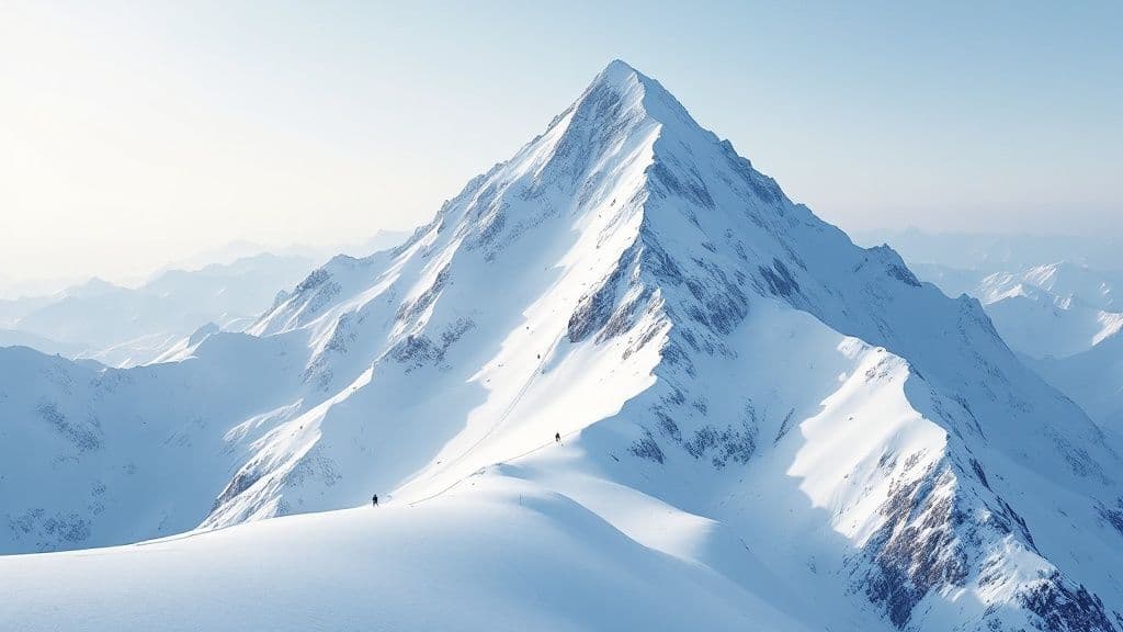
Why Does Alta Get So Much Snow?
Alta's reputation for bottomless powder isn't just good marketing—it's a meteorological fact baked into its geography. The resort sits perfectly positioned at the top of Little Cottonwood Canyon, which acts as a natural storm trap.
When storms roll in from the west and northwest, the canyon’s unique shape funnels all that moist air upward. This forces the air to cool rapidly, squeezing out staggering amounts of the famously light, dry snow Utah is known for—a phenomenon called orographic lift. Add in the "lake effect," where storms slurp up extra moisture from the Great Salt Lake before slamming into the mountains, and you have a recipe for some of the most consistent, high-volume snowfall on the planet.
A History of Deep Snow
This context is the key to making sense of any single snow report Alta puts out. The resort's snowfall isn't just impressive; it's historic. Alta’s 43-year average is a massive 546 inches, but some winters completely blow that number out of the water.
Take the record-shattering 2022–23 season, which delivered a mind-boggling 903 inches of snow. That's 167.8% of the long-term average. It was so much snow that this one season single-handedly raised Alta's 10-year average by nearly 40 inches. You can read more about Alta's wild snow history on their official blog.
This chart from Alta's recap hammers the point home, showing just how much the 2022-23 season dwarfed the average, month after month.
The graph makes it crystal clear: while every winter at Alta is snowy, a record-breaking year delivers conditions that are truly in a league of their own. Knowing this history helps you recognize whether the current report signals a typical storm cycle or the start of something truly legendary.
How to Decode Key Snow Report Metrics
The official snow report Alta publishes is loaded with data, but knowing which numbers to look at is the key to timing the perfect day. The first thing any powder hound looks for is the 24-hour snowfall total. This is your single best indicator for a powder day. It tells you exactly how much fresh, untracked snow has fallen in the last day, ready to be ripped.
When you see a number like 12 inches or more in this column, you know it's going to be a good one.
Beyond the 24-Hour Total
While the 24-hour total is the headline, a few other numbers give you the full story. Understanding these helps you gauge the quality and longevity of the snowpack long after the first-chair crowd has gone home.
These are the other metrics I always check:
- Storm Total: This shows the cumulative snowfall from the current storm. A big storm total means a major mountain reset, burying old tracks and guaranteeing deep conditions for days.
- Base Depth: This is the foundation for the whole season. A deep base, measured up at the Collins Study Plot, means better coverage on steeps and technical terrain where rocks and stumps like to hide.
- Snow Water Equivalent (SWE): This is the secret to understanding snow quality. SWE measures the water content in the snow, telling you if the powder is light and floaty (low SWE) or heavy and dense (high SWE).
For instance, 10 inches of new snow with a 7% water content is that classic, light-density "champagne powder" Alta is famous for. But if that same 10 inches has 12% water content, it will feel much heavier and more substantial under your skis.
Interpreting the Alta Snow Report Data
Here's a quick cheat sheet to help you interpret the daily numbers like a local. This table breaks down what each key metric means for your day on the slopes.
| Metric | What It Tells You | Actionable Tip |
|---|---|---|
| 24-Hour Snowfall | How much new snow has fallen since the lifts closed yesterday. | Your go-to number for a powder day. Anything over 8 inches is great; 12+ is epic. |
| Storm Total | The total accumulation from the current, continuous storm cycle. | A big storm total (20+ inches) means deep, soft conditions will last for several days. |
| Base Depth | The settled depth of the entire snowpack at mid-mountain. | A deep base (100+ inches) ensures excellent coverage on all terrain, especially off-piste. |
| SWE (Water Content) | The density of the new snow, expressed as a percentage. | Look for 6-8% for that classic, light Wasatch powder. Over 10% means heavier snow. |
| Wind Speed/Direction | Where the new snow is being moved and deposited on the mountain. | Westerly winds tend to load up snow on east-facing slopes like High Rustler, creating deep pockets. |
Ultimately, learning to read between the lines of the snow report turns a good ski day into an unforgettable one. It lets you match your expectations—and your skis—to what the mountain is actually offering.
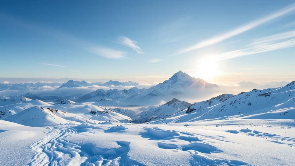
Where to Find the Best Alta Snow Reports
When you're chasing powder at Alta, your generic weather app just won't cut it. They often miss the hyper-localized, canyon-specific weather that cooks up those legendary snow totals. If you want the real story, you have to go straight to the source.
The undisputed gold standard is the official Alta Ski Area website. Their numbers come directly from the Collins Study Plot at 9,662 feet, a spot that has provided decades of consistent, reliable measurements. This is where locals go for the most precise 24-hour snowfall, base depth, and storm totals. It’s the ground truth.
Other Essential Resources
While Alta's official report is your go-to, a couple of other specialized sources add crucial context. This is especially true when your day involves navigating the unpredictable beast that is Little Cottonwood Canyon.
Here are the other tabs you should have open:
- Utah Avalanche Center (UAC): Absolutely essential, even if you're staying in-bounds. The UAC gives you a deep dive into snowpack stability, detailed avalanche forecasts, and on-the-ground observations. It tells you what's happening inside the snowpack.
- WasatchRoads.com: Our live data shows you real-time road conditions, traffic cameras, and status updates for Little Cottonwood Canyon, so you know exactly when the road is open or closed.
- OpenSnow: A favorite among die-hard skiers for a reason. OpenSnow provides incredibly detailed forecasts written by local meteorologists who live and breathe this stuff. Their daily analysis is great for getting a feel for a storm's timing, intensity, and snow quality.
Sticking to these trusted, local sources is the key to both safety and accuracy. Their data is based on what's actually happening on the mountain, not just broad regional models.
How to Use the Snow Report to Plan Your Trip
Reading a snow report is one thing; turning that data into a perfect Alta powder day is another. The real skill is in timing your trip to nail that sweet spot right after a storm while safely getting up the canyon. First, be obsessive about checking the report the night before and the morning of your trip. Conditions in Little Cottonwood Canyon change quickly.
Timing Your Canyon Drive
Often, the biggest challenge isn't the skiing—it's the drive up State Route 210. A huge storm total on the snow report is your cue to anticipate road closures for avalanche mitigation. Before you even think about putting your keys in the ignition, check the UDOT traffic site and Alta’s own report for the road status.
Actionable Tip: On a powder day with 10+ inches in the report, plan to be at the mouth of the canyon well before lifts open. Leaving an hour earlier than you think you need to can be the difference between getting first tracks and sitting in traffic for hours.
Understanding how these closures work is critical. For a deep dive into navigating SR-210, check out our complete Little Cottonwood Canyon winter driving guide.
Finding Untracked Snow After the Storm
Don't think all the goods are gone by 10 a.m. You can find incredible, untouched stashes a day or two after a big storm if you know how to hunt for them.
This is where the snow report becomes your secret weapon. Pay close attention to the wind direction. Here at Alta, consistent westerly winds are a gift—they load fresh snow onto east-facing slopes, refilling popular runs long after they’ve been tracked out.
Alta’s storm patterns are thankfully consistent, stacking up deep snow well into the spring. The 2023-24 season was a perfect example of this. The mountain got absolutely hammered between January and March 2024, with 426 inches of snow falling in that period alone. That's an average of about 4.7 inches every single day, showing just how quickly even a small storm can completely reset the mountain. You can read more about it on Alta's official season recap.
Alta Snow Report FAQ
Here are straightforward answers to common questions about the snow report Alta puts out, so you can plan your trip like a local.
What’s the difference between mid-mountain and summit base depths?
The mid-mountain base depth, measured at the Collins Study Plot (9,662 ft), is the most reliable and historically consistent number for overall coverage. The summit base is almost always deeper due to wind-loading but can vary significantly. Always trust the mid-mountain base number for an honest assessment.
How accurate is the new snow forecast?
The forecast is a sophisticated, educated guess, but mountain weather is unpredictable. The most accurate number on any report is the "24-hour snowfall" total, as it has been measured, not predicted. Use the forecast to plan your week, but rely on measured snowfall for your day-of decisions.
Why does Alta often get more snow than nearby resorts?
Alta's location at the top of Little Cottonwood Canyon creates a powerful weather phenomenon called "orographic lift." The canyon acts as a natural funnel for storms, forcing moist air upward where it rapidly cools and dumps large amounts of light, dry powder. This canyon effect is the secret behind Alta's consistently high snow totals.
When is the best time of season to ski powder at Alta?
The prime window for the deepest and most consistent powder at Alta is typically January through March. These months historically see the biggest and most frequent storms. However, epic powder days can happen anytime from December to April, so keep a close eye on the snow report. For more canyon travel tips, check out our other frequently asked questions about the Wasatch canyons.