Your Guide to Reading Snowbird Snow Reports
Learn how to read and interpret Snowbird snow reports like a local. This guide covers new snowfall, base depth, avalanche advisories, and road conditions to help you plan the perfect powder day in Little Cottonwood Canyon.
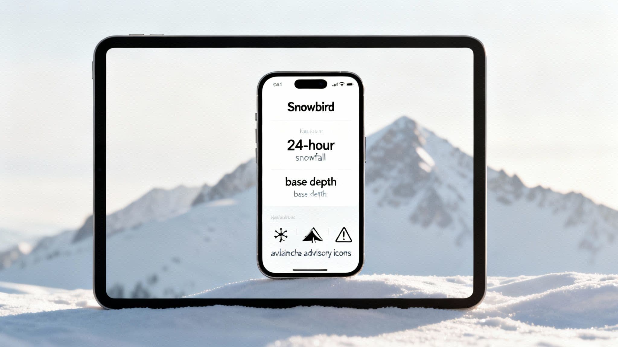
Knowing how to read the Snowbird snow report is the key to planning a successful day in Little Cottonwood Canyon. This guide explains what key data points—like new snowfall, base depth, and avalanche warnings—actually mean for your ski day. Use this information to find the best conditions, choose the right gear, and stay safe on the mountain.
What a Snowbird Snow Report Tells You
A snow report is more than just a weather forecast; it’s a strategic tool. It provides a real-time snapshot of on-mountain conditions, helping you decide if it’s a powder day, what gear to bring, and what terrain will be skiing best. Heading up the canyon without checking the report is a gamble that can lead to missing out on great snow or getting stuck by an unexpected road closure.
Understanding the data lets you answer the most important questions before you leave home:
- Is it a powder day? The 24-hour snowfall total is your green light to grab the fat skis.
- What terrain is open? The base depth and lift status will tell you if high-alpine zones like the Cirque are accessible.
- How's the safety situation? Avalanche advisories provide crucial context for navigating both in-bounds and out-of-bounds terrain.
Key Snow Report Metrics at a Glance
A few minutes spent reading the report can save you hours of frustration. Here are the most critical data points and what they mean for your day.
| Data Point | What It Tells You | Actionable Tip |
|---|---|---|
| New Snow (24-Hour) | The amount of fresh powder that fell in the last day. This is the #1 metric for powder hounds. | 6+ inches means it's a powder day. 12+ inches is an all-timer. |
| Base Depth | The total settled depth of snow on the ground. A deep base means better coverage over rocks and obstacles. | 80+ inches ensures most expert terrain is open and well-covered. |
| Lifts & Terrain | Shows which lifts are spinning and which runs are open. Critical for planning your routes. | Check for "Wind Hold" or "Delayed" on upper mountain lifts during storms. |
| Avalanche Warning | The official danger rating from the Utah Avalanche Center. Essential for backcountry and sidecountry safety. | "Considerable" or "High" means extra caution is required, even near resort boundaries. |
Local Tip: A detailed snow report shifts your approach from reactive to strategic. Instead of just showing up and hoping for the best, you arrive with a game plan to find the best snow and steer clear of the crowds.
When and How to Check the Snow Report
For a successful trip up Little Cottonwood Canyon, checking conditions is a multi-step process. An epic day starts with good intel from a few key sources.
Step 1: Check the Official Snowbird Report (Daily at 5:30 AM)
Your first stop should always be the official Snowbird Mountain Report. This is your ground truth for what’s happening on the mountain right now. It gives you live data from the resort, including:
- 24-hour new snowfall
- Current base depth
- Lifts and trails that are open or on hold
- Grooming information
This report is updated daily around 5:30 AM, giving you the information you need to make the call for the day.
Step 2: Check the Avalanche Forecast
Next, visit the Utah Avalanche Center (UAC) for the daily forecast. This isn't just for backcountry skiers; it provides the official avalanche danger rating, which is essential for understanding snowpack stability, especially if you plan on skiing any expert terrain near resort boundaries. It’s a non-negotiable safety check for all canyon travelers.
Step 3: Check Road Conditions
Finally, check the road status for Little Cottonwood Canyon. Conditions can change in an instant, with closures for avalanche control or accidents bringing traffic to a standstill. Knowing the real-time road status is a necessity. For the most up-to-the-minute travel info, our comprehensive guide to UDOT road conditions in Utah is an invaluable resource.
Combining the official snow report with avalanche and road conditions transforms your plan from wishful thinking into a solid strategy. This ensures you're prepared for everything from epic powder to an unexpected canyon closure.
How to Interpret Snowfall Data
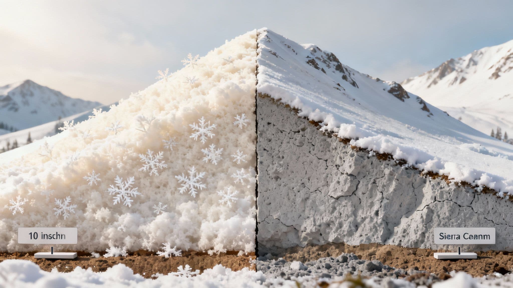
When you pull up a Snowbird snow report, two numbers immediately jump out: new snowfall and base depth. They tell different stories about what your day will feel like.
New snowfall, usually reported in 12-hour and 24-hour totals, is the headline number that gets powder hounds out of bed. It’s simple: a report showing 8 inches in the last 24 hours is your green light for fresh tracks. However, while new snow gets the glory, the base depth is the unsung hero that makes great skiing possible. Think of the base as the mountain’s safety net—it’s the total compacted depth of snow that has fallen over the season.
A deep, solid base is what buries the rocks, stumps, and other hazards that hide in Snowbird’s legendary expert terrain. Without a good base, even a huge powder day can be sketchy in steep, technical zones.
Snowbird is blessed with an average of 500 inches of snow a year. This consistent snowfall builds a reliable base season after season. You can explore more about Snowbird’s impressive snow reliability to see why it's such a dependable destination.
How Base Depth Affects Your Day
A shallow base early in the season means you'll probably be sticking to the groomers. But once that base hits 100+ inches, the whole mountain opens up.
- Under 50 inches: Early season conditions. Expect limited off-piste options; stick to the main groomed runs.
- 50-80 inches: Things are getting good. Most of the mountain is open, but be cautious in rocky areas.
- 80+ inches: The mountain is firing on all cylinders. Expert terrain like the Cirque and Gad Chutes will be skiing great, delivering the full Snowbird experience.
How to Understand Avalanche Advisories
Every Snowbird snow report includes a direct link to the daily advisory from the Utah Avalanche Center (UAC), and it's required reading. This isn't just for backcountry pros; it gives crucial context for anyone heading into steep, off-piste terrain within the resort boundaries. Understanding the day's risk level helps you make smarter choices.
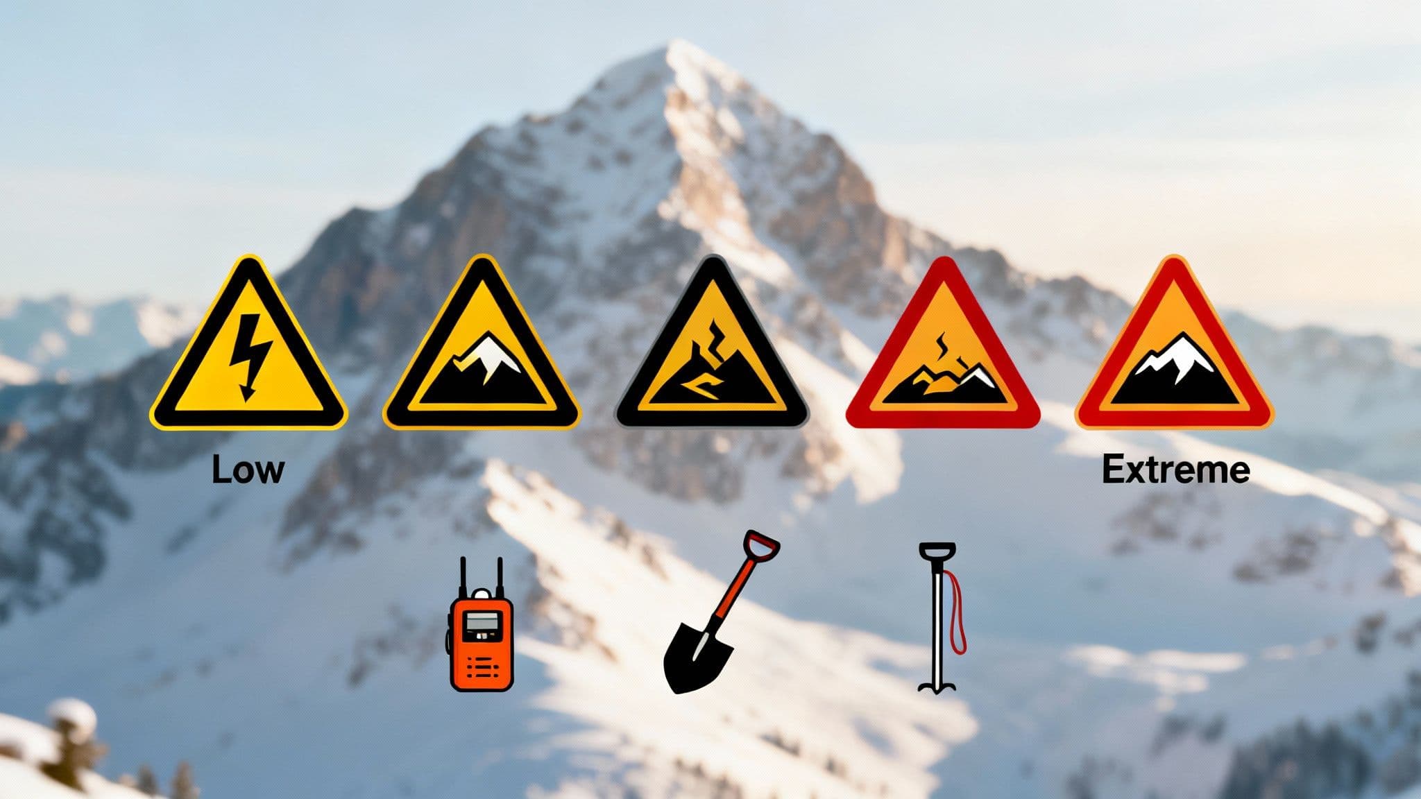
What the Danger Ratings Mean
The UAC uses a five-level, color-coded scale to communicate avalanche danger. Here’s a practical breakdown of what each rating means for your day:
- Low (Green): Conditions are generally stable. Human-triggered avalanches are unlikely.
- Moderate (Yellow): Heightened avalanche conditions exist on specific terrain features. Human-triggered slides are possible.
- Considerable (Orange): Dangerous avalanche conditions. Human-triggered avalanches are likely. This is a serious warning to avoid avalanche-prone slopes.
- High (Red): Very dangerous avalanche conditions. Human-triggered avalanches are very likely, and natural slides are probable. Travel in avalanche terrain is not recommended.
- Extreme (Black): Avoid all avalanche terrain. This is a rare rating for when widespread natural and human-triggered avalanches are certain.
Reading the full forecast narrative is just as important as seeing the color. The details tell you which slopes are most dangerous (e.g., "north-facing slopes above 9,000 feet") and why.
This knowledge helps you connect the dots between the Snowbird snow report and what's actually happening under your skis. For anyone skiing aggressive terrain, carrying a beacon, shovel, and probe—and knowing how to use them—is non-negotiable.
Your Plan for the Perfect Powder Day
A perfect powder day is about having a solid plan. A simple morning checklist can be the difference between getting first tracks and getting stuck in traffic.
First, check the official Snowbird snow report around 5:30 AM. You're looking for that magic number in the 24-hour snowfall total. If it's showing six inches or more, you have the makings of a great day. Next, glance at the base depth to ensure there’s enough coverage for the terrain you’re hoping to ride.
Your Morning Checklist
Once you've confirmed the snow is good, layer in the logistics and safety checks.
- Review the UAC Forecast: Before you go, check the day’s avalanche advisory to make safer choices about where you ski.
- Check UDOT Traffic: Look at the Little Cottonwood Canyon road conditions. Are traction laws in effect? On a big powder day, you must be in the canyon early to have a shot at parking.
- Plan Your Route: Check lift status. High winds can put upper mountain lifts on hold, so have a backup plan for lower-angle terrain.
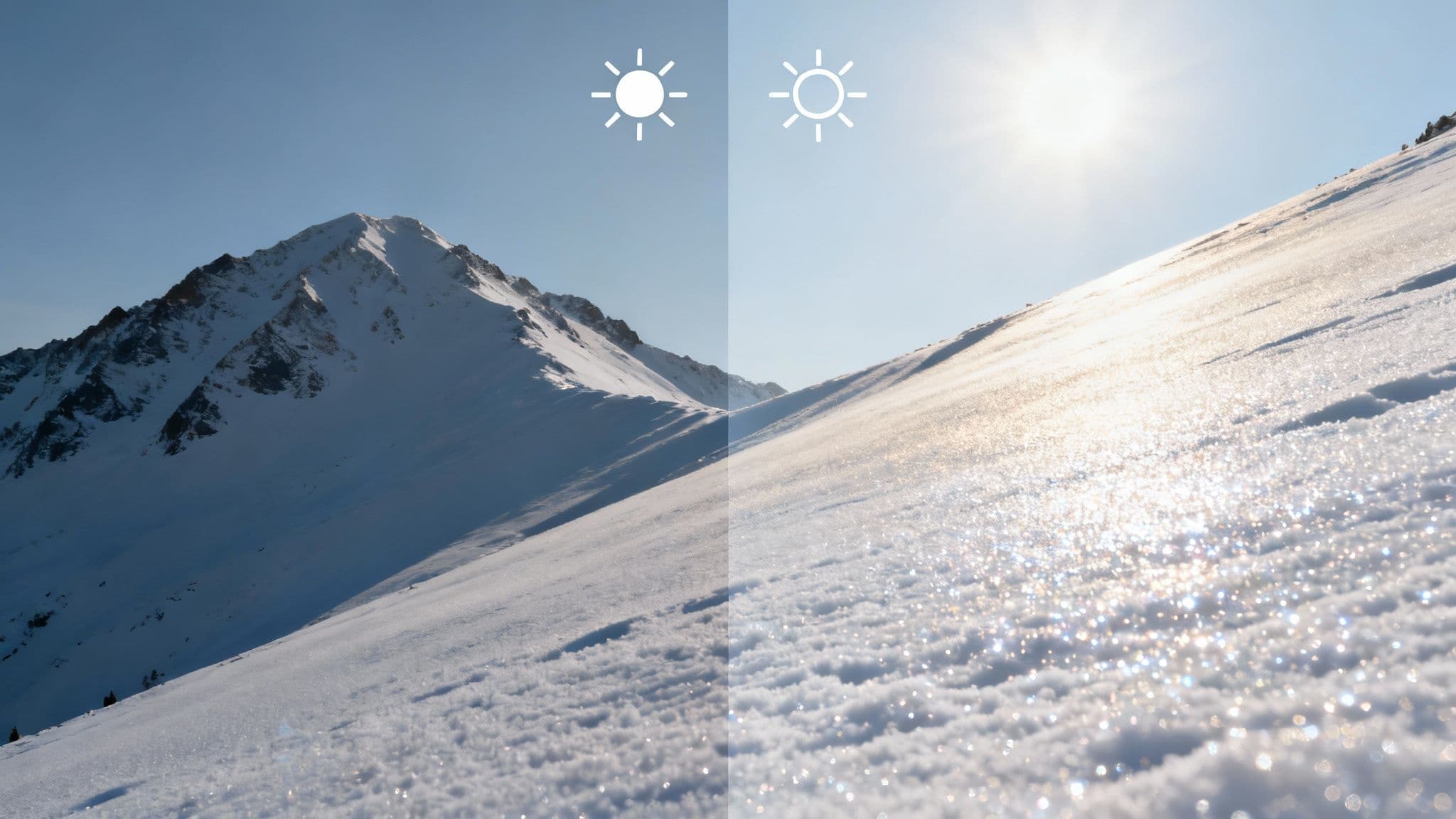
Local Tip: On a bluebird powder morning, consider heading straight for Mineral Basin. It catches the early sun, which softens up new snow perfectly while everyone else is still competing for tracks on the front side of the mountain.
For a deeper dive into how weather patterns shape the snow, check out our guide on Snowbird's weather.
Frequently Asked Questions
What's considered a good base depth at Snowbird?
A base depth over 80 inches provides solid coverage across most terrain. When the base exceeds 100 inches, almost everything is in play—even the notoriously rocky and technical terrain like the Cirque will be filled in and skiing great.
How often is the Snowbird snow report updated?
The official Snowbird snow report is updated at least twice daily. The most important update is around 5:30 AM with the 24-hour snowfall total. Live data, like lift and trail status, is updated continuously throughout the day.
Where can I check road conditions for Little Cottonwood Canyon?
Your go-to source is the UDOT Traffic app or website. It provides critical, real-time updates on road closures, traction law requirements, and avalanche control work. Checking it is essential before heading up the canyon.