Your Guide to the Wasatch Snow Forecast
Get the latest Wasatch snow forecast with live data, canyon road status, and local tips. Learn how to read the forecast like a pro for your next trip up Little or Big Cottonwood Canyon.
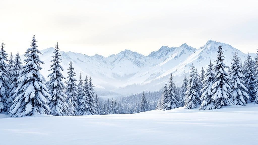
The Wasatch snow forecast is calling for a mid-week storm to bring 2-4 inches of fresh snow to the upper elevations of the Cottonwood Canyons, followed by colder, clear days. This guide will help you understand the critical details beyond just snowfall totals, including wind conditions, avalanche risk, and how to use live data to plan a safe trip up the canyons. We’ll cover what makes Wasatch snow unique and provide actionable tips for navigating the roads.
What is the Wasatch Snow Forecast This Week?
Planning a trip up the canyons means looking past the simple snowfall number on your phone's weather app. A true Wasatch forecast is about understanding the character of the snow, not just the amount. This breakdown gives you the full picture, including critical details like wind speeds—the main ingredient for building dangerous wind slabs—and the general avalanche outlook to help you make smarter, safer calls.
When to Expect New Snow
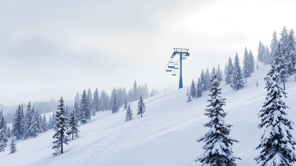
Every local knows that Little Cottonwood Canyon (LCC) and Big Cottonwood Canyon (BCC) are two different beasts. Little Cottonwood’s unique geography often squeezes out a bit more snow, but the wind can behave completely differently from one canyon to the next. Before you head up, always get the latest on-the-ground road status from our dedicated pages for each canyon.
To help you plan, here’s a quick look at how the next few days are shaping up.
At-a-Glance Wasatch Canyon Forecast
This table gives you a snapshot comparison of the forecast for both Little and Big Cottonwood Canyon, helping you decide where to find the best conditions.
| Day | LCC Expected Snowfall (Inches) | BCC Expected Snowfall (Inches) | Wind Conditions | General Avalanche Outlook |
|---|---|---|---|---|
| Today | 0 - 1" | 0 - 1" | Light W 5-10 mph | Low |
| Tomorrow | 2 - 4" | 1 - 3" | Moderate SW 15-25 mph | Moderate |
| Day 3 | Trace - 1" | Trace | Light NW 10-15 mph | Low to Moderate |
| Day 4 | 0" | 0" | Calm | Low |
Keep in mind, that "Moderate" avalanche outlook for tomorrow is directly tied to the new snow and moderate winds. That's the perfect recipe for creating fresh wind slabs on exposed, leeward slopes. Be sure to check the Utah Avalanche Center for the detailed daily forecast before heading out.
What Makes Wasatch Snow So Unique?
That trademarked slogan, "The Greatest Snow on Earth®," isn't just a clever line—it's a claim backed by a perfect storm of meteorological ingredients. The legendary light, dry powder you see in a Wasatch snow forecast is the direct result of three key factors colliding over our mountains. Understanding how this natural snow factory works gives you a new appreciation for why 12 inches here feels so different.
The Three Pillars of Wasatch Powder
The magic really boils down to a powerful mix of geography and atmospheric science. For a storm to produce our signature powder, it has to dance with three distinct features on its way here.
- Pacific Moisture: Our biggest storms start over the Pacific. As they travel east across the Great Basin, they drop heavy, wet moisture over the Nevada desert, leaving behind lighter potential.
- The Lake Effect: Just as the partially dried storm approaches Utah, it glides over the Great Salt Lake. The lake’s warm, salty water gives the storm’s base a crucial boost of low-density moisture—the famous "lake effect."
- Orographic Lift: This is the final and most powerful ingredient. The Wasatch Front shoots up dramatically from the valley floor. When a moisture-loaded storm hits this steep wall, it’s forced violently upward, cooling the air and squeezing out every last drop of moisture into those incredibly light, fluffy snow crystals.
This three-part system consistently delivers high snow totals with ridiculously low water content, creating what locals call "cold smoke." The process is especially efficient in places like Little Cottonwood Canyon, where the steep, narrow terrain creates one of the most productive orographic lifts on the planet.
How to Read the Forecast Like a Local
When a Wasatch snow forecast calls for 12 inches, it's easy to get excited. But to really know what's happening up in the mountains, you've got to dig a little deeper. Learning to read a few key details will completely change how you plan your day, helping you score better snow and, more importantly, stay safe.
Unlock the Data with SNOTEL
Locals turn to SNOTEL (Snow Telemetry) sites—unmanned weather stations that give us a real-time, ground-truth look at what's happening. They measure Snow Water Equivalent (SWE), which tells you how much water is actually in the snow. A low SWE means light, fluffy "cold smoke" powder. You can pull up data from key sites like ‘Alta-Collins’ or ‘Snowbird’ to see exactly how much snow has fallen and what its water content is. For instance, checking the Snowbird SNOTEL site gives you a detailed snapshot of conditions, which you can cross-reference with our own dedicated snow report for Snowbird, Utah.
Look Beyond Snowfall Totals
Once you're comfortable with SWE, start layering in other critical pieces of the puzzle that affect both snow quality and safety.
- Elevation Totals: A storm might drop 10 inches at the base but plaster the summit with 18 inches. Check the forecast for different elevations to find the deepest stashes.
- Wind Direction and Speed: Wind is the true architect of the backcountry. Strong winds strip snow from one area and load it onto leeward (downwind) slopes, creating thick, unstable formations called wind slabs.
- Temperature Trends: If a storm starts warm and gets colder, you can end up with "upside-down" snow—a heavy layer on top of a weak one, increasing avalanche danger.
The Wasatch is legendary for a reason—the sheer amount of snow is exceptional. Even with yearly swings, the long-term data shows incredible consistency. You can explore more historical data to see the incredible year-over-year snow totals and how different seasons stack up.
How to Turn the Forecast into an Action Plan
Knowing the meteorological forecast for a Wasatch storm is one thing. Knowing how to actually use it to get up the canyons safely is another. A big storm here isn't just about fresh powder; it's about road closures, strictly enforced traction laws, and serious avalanche risk. This is how you translate the numbers and charts into a smart, actionable playbook for your mountain day.
Check Road Status and Traction Laws
When a big storm is on the radar, the first thing you need to think about is travel in Little and Big Cottonwood Canyons. During a storm, you'll almost certainly see UDOT's Traction Law go into effect. This is a mandatory requirement.
- 4WD/AWD vehicles: Must have approved snow tires (3-Peak Mountain Snowflake symbol) or M+S tires.
- 2WD vehicles: Must have snow tires on all four wheels and carry chains.
When things get intense, you might see full road closures for avalanche work or even an "interlodge" event in Little Cottonwood Canyon, where all road travel is banned.
Use Live Data to Your Advantage
Don't rely on yesterday's information. Before you go, check the live road status on UDOT’s traffic website and social media channels. Pairing that live info with our comprehensive guide to winter driving in Little Cottonwood Canyon will give you the complete picture of what to expect.
Integrate Avalanche Safety into Your Plan
No Wasatch snow forecast is complete without factoring in the avalanche danger. The Utah Avalanche Center (UAC) is your most critical resource. They issue a daily forecast that breaks down the risk on a five-level scale, from Low (1) to Extreme (5). Even if you’re skiing in-bounds, a "High" or "Extreme" rating is a major red flag that can lead to long, unpredictable road closures for avalanche mitigation. Always check the UAC forecast before you head out.
Wasatch Snow Forecast FAQ
Here are answers to a few of the most common questions we hear from canyon travelers.
How reliable is a 10-day Wasatch snow forecast?
Think of a 10-day forecast as a general guide. The first 3-5 days are usually solid for storm timing and snow totals. Beyond that, accuracy drops significantly due to the complexity of mountain weather. Make your go/no-go decisions based on the short-term, 1-3 day outlook.
What is the lake effect and how much snow does it add?
The "lake effect" kicks in when cold air passes over the Great Salt Lake, picks up moisture, and dumps it as snow in the mountains. This process can significantly boost snow totals, contributing an estimated 5% to 15% of our total seasonal snowfall and helping create our uniquely light powder.
Where can I find the best live data for Wasatch conditions?
For a complete picture, you need to check a few key resources:
- Avalanche Danger: The Utah Avalanche Center (UAC) is your non-negotiable first stop for safety.
- Live Snow Data: Check the NRCS SNOTEL network for real-time snow depth and water content at sites like 'Alta-Collins.'
- Road Conditions: Use the official UDOT Traffic website or app for definitive canyon road status, traction laws, and closures.
Why do Alta and Snowbird get more snow than Park City?
It's all about geography. Alta and Snowbird sit at the top of Little Cottonwood Canyon, which acts like a perfect storm trap. The canyon's steep walls force incoming storms to rise and cool rapidly (orographic lift), squeezing out moisture as snow. Park City sits on the eastern side of the Wasatch Crest in a "snow shadow," receiving less snow after storms have already dropped most of their payload.