How to Read the Alta Ski Resort Snow Report
Unlock Alta's legendary powder days by learning how to read the Alta ski resort snow report, including what base depth and snowfall numbers mean for your day.
The Alta snow report is your key to planning the perfect ski day, telling you everything from new snowfall to the settled base depth. To find powder, look for 6+ inches of new snow in the last 24 hours; for full mountain access mid-season, an 80+ inch base is your ideal target. This guide breaks down what those numbers mean and how to use them to score the best conditions.
What is in the Alta Snow Report?
The Alta snow report is a daily snapshot of mountain conditions, designed to give you a quick, honest assessment of what you’ll find on the slopes. A quick glance before you drive up Little Cottonwood Canyon helps you choose the right gear, manage expectations, and find the best snow.
Key Metrics to Check
The most important numbers are usually right at the top. Here’s what to look for and what it means for your ski day.
- 24-Hour Snowfall: This is the magic number for powder hounds. Six inches or more means you'll be finding fresh tracks.
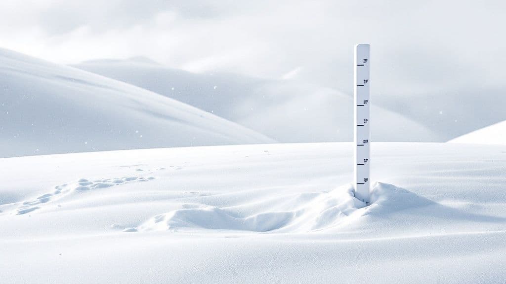
- Base Depth: This measures the mountain's overall coverage. A deep base means more terrain is open, especially expert-level bowls and chutes.
- 7-Day Forecast: This helps you plan ahead, showing if a big storm is on the horizon or if you can expect sunny, bluebird skies.
The table below breaks down the essential metrics and how to interpret them at a glance.
Alta Snow Report at a Glance
| Metric | What It Tells You | Ideal Conditions |
|---|---|---|
| New Snow (24-Hour) | The amount of fresh snow that has fallen in the last day. | 6+ inches for a true powder day. |
| Base Depth | The total settled snow depth at mid-mountain. | 80+ inches for full-mountain coverage. |
| Surface Conditions | Describes the top layer of snow (e.g., Powder, Packed Powder). | "Powder" is the gold standard for soft turns. |
| 7-Day Forecast | Upcoming weather patterns and potential storms. | Look for incoming storms to plan your next powder day. |
When Does Alta Get the Best Snow?
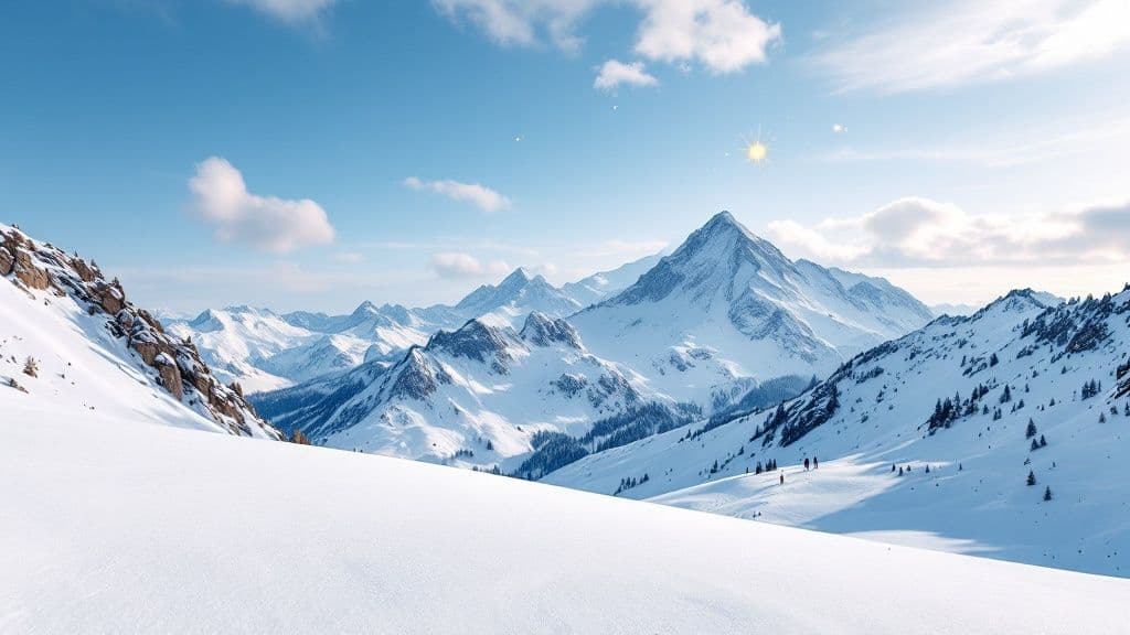
Alta's legendary snow isn't just hype; it's a direct result of a perfect meteorological recipe. The resort's unique position in the Wasatch Mountains reliably churns out deep, dry powder, making its snow report the envy of the ski world. Two key ingredients are responsible: the "lake effect" from the Great Salt Lake and the "orographic lift" created by Little Cottonwood Canyon.
The Lake Effect Snow Machine
The process starts when cold, dry air sweeps across the Great Salt Lake's relatively warm, salty water, soaking up massive amounts of moisture. This supercharges storm systems before they hit the mountains, giving them the extra fuel needed to produce the huge snowfall totals that regularly appear on the alta ski resort snow report.
Orographic Lift in Little Cottonwood Canyon
Once those moisture-packed clouds reach Little Cottonwood Canyon, its steep, narrow walls act like a giant ramp, forcing the air violently upward in a process called orographic lift. As the air rises, it cools rapidly, wringing out the moisture into the famously light snowflakes Alta is known for. The result is a staggering average of 500 inches of snow annually, a figure that puts Alta in an exclusive club. You can see how it compares to other US resorts in this annual snowfall comparison.
This combination of lake effect moisture and aggressive orographic lift is why a storm that might only dust Salt Lake City can dump a foot or more of "The Greatest Snow on Earth®" at Alta.
How to Interpret Snow Depth and Base Conditions
When you check the Alta snow report, the "base depth" number is more than a statistic—it’s the foundation of your ski day. It represents the compacted snowpack that buries rocks, stumps, and other hazards. A deep base is your ticket to better coverage and more open terrain, as it directly impacts what Ski Patrol can safely open.

What Different Base Depths Mean
A "good" base depth changes throughout the season. Here’s a rough guide to what those numbers mean on the mountain.
- Early Season (Nov-Dec): A base of 40-60 inches is a fantastic start. Most groomed runs will be open, but you’ll need to watch for natural hazards in off-piste areas.
- Mid-Season (Jan-Mar): This is prime time. When the base hits 80-100+ inches, nearly everything is filled in, including the steepest chutes and rockiest lines.
- Late Season (Apr-May): The base is still deep but begins to consolidate during spring freeze-thaw cycles, making conditions more variable.
History shows Alta consistently builds a solid foundation, often reporting monthly snow depths over 120 cm (about 4 feet) in January and February. You can dig into regional snow depth history on igluski.com for more data.
Actionable Tip: Connecting Base Depth to Terrain
A deeper base means more of Alta's legendary terrain is accessible. Some of the most iconic zones, like the High Traverse (High-T), often need a solid 70-80 inch base before Ski Patrol will consider opening them. If the Alta ski resort snow report shows a base below that, you can expect to lap terrain off the main lifts instead of hiking for the goods. Check the base depth against the lift and trail status to build your game plan for the day.
How to Use Weather Forecasts for Your Trip
A savvy skier knows the snow report shows what has fallen, while the forecast tells you what’s coming. Reading Alta's unique mountain weather forecast provides an insider's edge, helping you anticipate conditions before you even set foot in Little Cottonwood Canyon.
Key Forecast Elements to Watch
Looking past simple snowfall totals separates the pros from the crowd. Pay attention to storm details to pinpoint the best zones on the mountain.
- Wind Direction and Speed: Strong winds, especially from the northwest, "load" snow onto leeward, east-facing slopes. This means spots like the Greeley Chutes could hold significantly deeper snow than wind-scoured ridges.
- Temperature Trends: A storm that starts warm and ends cold often produces "right-side-up" snow—a denser base with a light, fluffy layer on top that is a dream to ski. A forecast showing temperatures in the teens (Fahrenheit) is a great sign for classic Utah powder.
Actionable Tip: Finding the Best Forecast
For the most reliable predictions, locals and patrollers use specialized resources. You can get a detailed analysis specific to the area by checking a dedicated Wasatch snow forecast. This provides a clearer picture than a generic city weather app. By combining the official Alta ski resort snow report with a solid forecast, you can strategically plan your next powder day. Before you leave, always check live Little Cottonwood Canyon cameras to ensure the road is open.
FAQs
What is a good base depth at Alta?
Early in the season (December), a 40-50 inch base is a great start. For mid-winter (Jan-Mar), an 80-100+ inch base is ideal, as it ensures even the steepest and rockiest terrain is filled in and skiable.
Where can I find the most reliable Alta snow report?
For the most accurate, real-time info, start with the official Alta Ski Area website. For deeper analysis, seasoned locals rely on the Utah Avalanche Center and OpenSnow for detailed storm forecasts.
How do I get to Alta on a powder day?
Getting up Little Cottonwood Canyon on a powder day requires planning. Leave early (before 7:30 AM), ensure your vehicle complies with traction laws (4WD/AWD or chains), and check road status for closures before you go. For more, read our complete Little Cottonwood Canyon traffic guide.
For live road status, canyon travel times, and camera feeds to help you get to the powder faster, check out Wasatch Roads at https://wasatchroads.com.