How to Read the Alta Snow Report for the Perfect Powder Day
Learn how to read and interpret the Alta snow report, including new snow, base depth, and avalanche advisories, to plan a perfect day in Little Cottonwood Canyon.
Reading the Alta snow report is the key to timing a perfect powder day in Little Cottonwood Canyon. This guide explains what key metrics like new snow and base depth mean, how to use them to assess conditions, and how to create a pre-dawn plan. A quick 60-second scan is all it takes to know if it's worth the drive up.
What the Alta Snow Report Tells You
The Alta snow report is a real-time snapshot of mountain conditions, providing the data you need to decide if it's go-time. Before checking traffic on Wasatch Roads, this report is your mission control for planning.
How to Scan the Report in 60 Seconds
In less than a minute, you can get the three most important pieces of information to help you commit to a ski day.
- New Snowfall: How much fresh powder is waiting? The 12 and 24-hour totals are the single biggest indicator of a true powder day.
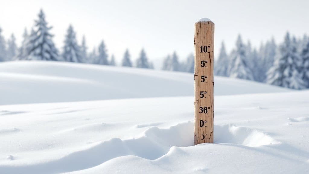
- Base Depth: Is the coverage good? A deep base—our live data shows 100+ inches is ideal—means rocks and roots are safely buried, opening up more terrain.
- Current Conditions: What does the snow feel like? This tells you if the surface is packed powder, machine-groomed corduroy, or something in between.
This rapid assessment helps you make the call and manage expectations for the day ahead.
Key Alta Snow Report Metrics
| Metric | What It Tells You | Why It Matters for Canyon Travelers |
|---|---|---|
| New Snow (12/24 Hr) | How much snow has fallen since lifts closed yesterday and over the last day. | This is your powder day indicator. High numbers mean fresh tracks. |
| Base Depth | The average settled depth of snow on the mountain. | A deep base means better coverage and fewer off-piste obstacles. |
| Surface Conditions | The texture of the snow (e.g., Powder, Packed, Groomed). | This sets expectations for how your skis will feel on the snow. |
| Season Total | The cumulative snowfall for the entire winter season. | A fun stat that speaks to how epic the winter has been. |
When to Check the Alta Snow Report
To get the most value, check the report as part of a strategic morning routine before you leave the house. Alta updates its report twice daily, giving you fresh intel when it matters most.
- The 5:30 AM Update: This is the most critical report. It provides the overnight snow totals and morning conditions you need to build your plan.
- The Afternoon Update: This update accounts for any new snow, wind, or temperature changes during the ski day.
These daily numbers become more powerful when viewed in a larger context. For example, by March 1 of a recent season, Alta had already received 348 inches, with February alone delivering 109.5 inches—121% of its 44-year average. Combining daily stats with a Wasatch snow forecast helps you perfectly time those unforgettable trips up Little Cottonwood Canyon.
How to Use the Report for a Better Ski Day
Turning data into a solid plan is how you score first chair instead of sitting in traffic. A quick, four-step morning scan connects the snow report to road conditions and resort operations, setting you up for success.
Your 4-Step Pre-Powder Checklist
- Check the Alta Snow Report (5:30 AM): Look for new snow totals—over 6 inches is a green light. Glance at base depth and surface conditions to answer the question: is it worth going?
- Assess the Avalanche Advisory: Check the Utah Avalanche Center (UAC). A "Considerable" or "High" rating often means delayed openings for avalanche mitigation, which impacts when you should hit the road.
- Verify LCC Road Status: Check Wasatch Roads for road closures or traction law requirements. Our Little Cottonwood Canyon winter driving guide has crucial tips for this.
- Confirm Resort Operations: A final check of Alta's website or social media confirms which lifts are scheduled to open and when.
This sequence helps you make strategic moves. Knowing a "High" avalanche rating will likely delay openings allows you to time your drive to avoid the initial gridlock, arriving just as patrol drops the ropes. This same logic applies when visiting Alta's neighbor; learn more by reading our guide to the weather at Snowbird, Utah.
How to Read the UAC Avalanche Danger Rating
The color-coded danger rating gives you an at-a-glance sense of risk. Even though Alta's in-bounds terrain is professionally controlled, a Considerable or High rating signals a touchy snowpack and likely operational delays.
| Danger Level | Color | What It Means for Travel |
|---|---|---|
| Low | Green | Generally safe conditions. Watch for unstable snow on isolated, steep terrain. |
| Moderate | Yellow | Heightened avalanche conditions on specific terrain. Make conservative choices. |
| Considerable | Orange | Dangerous conditions. Human-triggered avalanches are likely. |
| High | Red | Very dangerous conditions. Travel in avalanche terrain is not recommended. |
| Extreme | Black | Avoid all avalanche terrain. Widespread avalanches are certain. |
Alta Snow Report FAQ
Where does Alta measure its official snowfall?
Alta’s numbers come from the Collins Study Plot at 9,662 feet. It has been the consistent, manually measured source for decades, making historical comparisons reliable. This consistency is how we know the 2023-24 season tallied 294.5 inches by January 31st, 4% above its 43-year average. You can read the full 2023-24 season recap on Alta.com.
What is the difference between base depth and new snow?
New Snow is the fresh accumulation in the last 12-24 hours—your powder day metric. Base Depth is the total settled depth of the entire snowpack, which determines if off-piste hazards are buried.
Why does the report mention water content (SWE)?
Snow Water Equivalent (SWE) tells you the quality of the powder. A low percentage (7-8%) is the light, "champagne powder" Utah is famous for. A higher number (10-12%) means heavier, wetter snow that feels different under your skis.
Planning the perfect trip up Little Cottonwood Canyon starts with the right data. Before you go, check Wasatch Roads for real-time road conditions, traffic cameras, and resort updates all in one place. Visit https://wasatchroads.com to make your next powder day seamless.