Your Guide to the Snowbird Snow Report in Utah
Get the latest Snowbird snow report for Utah, with live data on snowfall, base depth, and weather. Learn how to read the report and find the best snow.
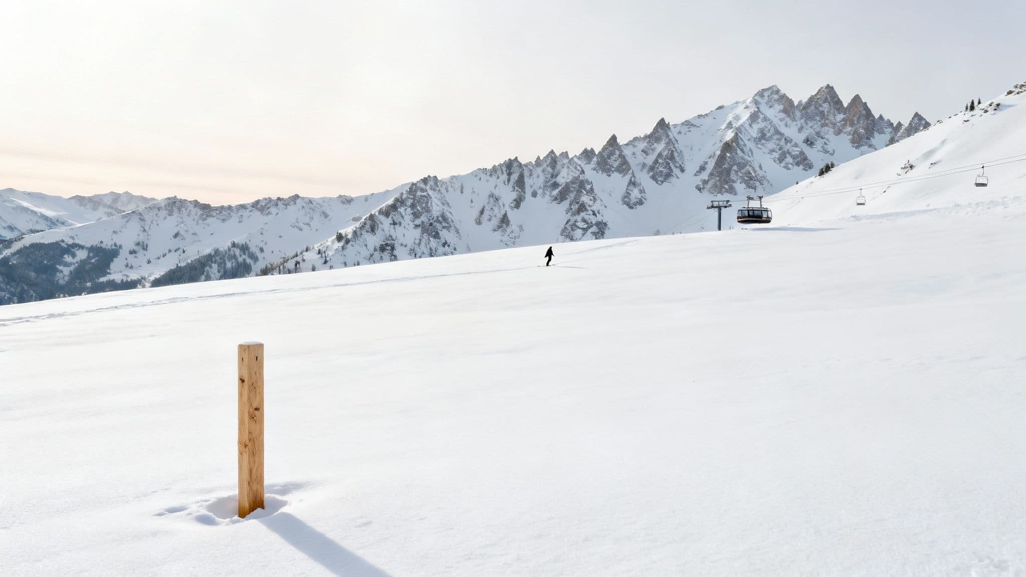
Planning a trip up Little Cottonwood Canyon requires knowing the mountain conditions before you go. This guide explains how to read the Snowbird snow report, with live data on new snow, base depth, and actionable tips for finding the best powder on the mountain. With a current 24-hour snowfall of 8 inches on a 105-inch base, conditions are excellent.
What is the Current Snowbird Snow Report?
Below is a concise summary of the key data points for today's conditions at Snowbird. Use this live data to match your gear and timing to what’s happening on the mountain right now.
| Metric | Current Data | Notes |
|---|---|---|
| New Snow (24h) | 8 inches | Tracked storm cycle total |
| Base Depth | 105 inches | Solid foundation across all terrain |
| Forecast | High 24°F / Low 15°F | Light snow possible overnight |
Why This Data Matters
An accurate, up-to-the-minute Snowbird snow report Utah enthusiasts rely on sets the tone for your day. Conditions in Little Cottonwood Canyon can shift in minutes, and this information shapes everything from your layering strategy to which zones you’ll ski.
Key Metrics Breakdown:
- New Snowfall: We track this over 24-hour, 48-hour, and 7-day spans for full context.
- Base Depth: A deep base reduces the risk of hidden rocks and offers consistent coverage.
- Weather Forecast: Current temperatures, wind speeds, and storm chances help you pack precisely.
With these metrics, you can instantly decide whether it’s a powder mission or a groomer-focused carving day.
How to Interpret the Snowbird Snow Report
When you pull up the Snowbird snow report Utah locals swear by, the full report tells a rich story about what's really happening on the mountain. Learning to read between the lines is the first step to making smart calls before you even start the drive up Little Cottonwood Canyon.
Decoding Key Snow Metrics
The numbers on a snow report are your guide to the day's adventure. Knowing the difference between a few key stats can completely change how you approach the mountain.
Here's what really matters:
- New Snowfall (24-Hour Total): This is the magic number signaling fresh powder.
- Base Depth: This is the average settled depth of snow across the resort. A solid base of over 100 inches means obstacles are safely buried, opening up more terrain.
- Storm Total: This tells you how much snow has fallen from the current storm system, helping you know if you're catching the beginning, middle, or end of a powder cycle.
For example, a report showing 12 inches of new snow on a thin 30-inch base early in the season is a sign to stick to groomers. But 6 inches of fresh snow on a solid 120-inch base means it's game on for exploring off-piste.
Understanding Snow Quality
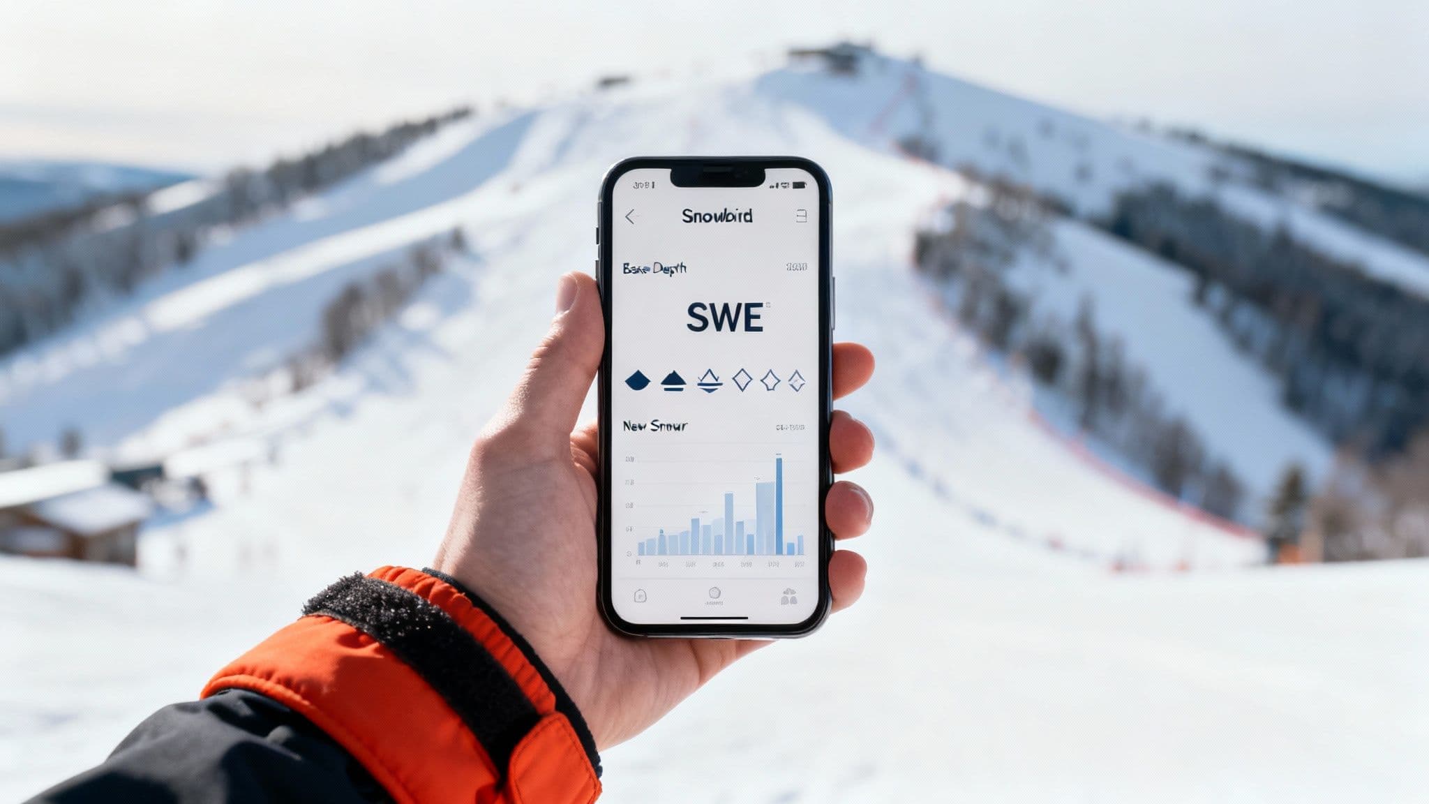
A good snow report often includes descriptions that give you a feel for the snow's texture. A key metric is Snow Water Equivalent (SWE). A low SWE (a 10:1 snow-to-water ratio) means you're getting light, fluffy "blower" powder, while a higher SWE suggests denser, wetter snow. This info helps you dial in your gear—light powder is a dream on wider skis, while denser snow is more fun on all-mountain carvers.
When Does Snowbird Get the Most Snow?
Snowbird's legendary status is built on deep, consistent powder, averaging around 500 inches a year. This is thanks to its prime location in Little Cottonwood Canyon, a natural storm trap perfectly positioned for lake-effect storms brewing over the Great Salt Lake. This unique weather pattern produces the incredibly light, dry snow that makes Utah famous.
What the Averages Tell You
Looking at historical data gives you a solid idea of what to expect. In a typical winter, about 40% of the months see over 90 inches of snow. This consistent accumulation means the mountain builds a deep, stable base early on, which is key for getting great coverage across its vast and challenging terrain. A huge factor in preserving all that snow is the high proportion of north-facing slopes at the resort, which shields the snow from direct sun and keeps it powdery.
While every season has its own personality, these averages are a strong sign of the world-class conditions that make a Snowbird snow report so exciting to read. For a direct comparison, check out our guide to the Alta Ski Area snow report.
How to Use the Mountain Weather Forecast
A snow report tells you what’s on the ground, but the forecast tells you what’s coming. Any decent Snowbird snow report Utah provides a forecast, but knowing how to interpret the data yourself gives you an edge.
Key Forecast Elements to Watch
- Temperature and Storm Type: Colder storms produce the light, dry, "blower" powder that makes Utah famous. Warmer storms bring wetter, heavier snow.
- Wind Speed and Direction: High winds (over 35 mph) can shut down exposed lifts like the Aerial Tram. Wind also scours some slopes bare while loading others with deep drifts.
- Storm Trajectory: Storms from the northwest tend to pull colder, drier air, which translates to higher-quality snow.
A forecast calling for 8 inches of new snow with temps in the low teens and light winds is the perfect recipe for a "Bluebird Powder Day." For a deeper dive, our guide to the Snowbird weather forecast breaks it all down.
How to Find the Best Snow on the Mountain

The Snowbird snow report Utah gives you the data, but local know-how turns that data into the best turns of your life. Knowing where to look after a storm—or on a sunny groomer day—is the real secret to scoring untracked lines.
Strategies for Powder Days
When the report boasts big numbers, you need to think differently to find powder that lasts.
Here’s where to start your hunt:
- North-Facing Slopes: Terrain with a northern aspect stays sheltered from the sun, keeping powder cold and light for hours. Think about the terrain in Mineral Basin.
- Tree Skiing: Areas like Gad 2 hold untouched pockets of snow long after the open bowls get tracked out.
- Higher Elevations: Go high, early. The upper mountain gets more snow and stays colder.
Local Tip: Wind is your friend if you know how to use it. It strips snow from one side of a ridge (windward) and deposits it on the other (leeward), creating deep drifts. Check the forecast for the wind direction to predict where the deepest stashes will be.
Finding Good Snow on Non-Powder Days
On bluebird days without fresh snow, your strategy shifts to finding the best-quality surfaces. For perfect carving, hit fresh corduroy on groomers like Chip's Run first thing in the morning. Later in the day, especially in the spring, south-facing slopes soften into "corn" snow—a fun, hero-like surface.
Before you head up, check the latest road conditions in Little Cottonwood Canyon. Planning your arrival is just as important as planning your first run.
Snowbird's Record-Breaking Snowfall Seasons
Snowbird's average snowfall is massive, but some winters rewrite the definition of "deep," stretching the ski season into spring or early summer. These are the years that remind everyone why the Snowbird snow report Utah skiers obsess over can become so legendary.
How Big Winters Reshape The Mountain
A record-breaking season is about more than just bragging rights; it fundamentally changes how you ski the mountain. During these epic years, the base depth can swell to over 150 inches, creating a completely different playground.
The 2022-23 season was a perfect example. Snowbird shattered its all-time record, piling up over 800 inches of snow by early spring, dwarfing the resort's 500-inch average.
That colossal snowpack led to one of the longest seasons on record, pushing the resort to 100% open terrain and keeping it there for months. You can dive deeper into Snowbird’s record-breaking winters to see how much they impact the season.
FAQ: Snowbird Snow Report
What's the best month to ski powder at Snowbird?
Your best odds for classic, light-and-dry powder days are typically in January and February. However, March is famous for monster storms and often lives up to its "Miracle March" nickname.
How accurate is the Snowbird snow report?
It's highly accurate. The official report is updated daily by Snowbird's ski patrol and mountain operations teams, who use a mix of real-time data from sensors and manual measurements across the resort.
What does "base depth" mean?
Base depth is the average measurement of packed snow on the ground across all skiable terrain. A deep base means hazards like rocks and stumps are buried, allowing ski patrol to open more advanced, off-piste terrain.
Before you head up, always get the latest on road conditions and travel times. The best source is Wasatch Roads at https://wasatchroads.com.