A Guide to Alta Ski Resort Utah Weather
Everything you need to know about Alta Ski Resort's weather, including the science behind its legendary snow, how to read forecasts, and tips for navigating Little Cottonwood Canyon.
Planning a ski trip to Alta requires understanding its unique and powerful weather, which is famous for delivering over 545 inches of light, dry powder annually. The key is knowing how its location in Little Cottonwood Canyon creates legendary lake-effect snow and how to use local resources to track storms and navigate canyon travel safely. This guide provides actionable tips on reading forecasts, checking live data, and preparing for Utah’s strict traction laws.
What Makes Alta Weather So Unique?
Alta’s weather is not Salt Lake City’s weather. Due to its high elevation (8,530-foot base) and position at the top of Little Cottonwood Canyon, Alta operates within its own intense microclimate. Storms that bring rain to the valley can bury the resort in feet of snow, thanks to two key meteorological forces:
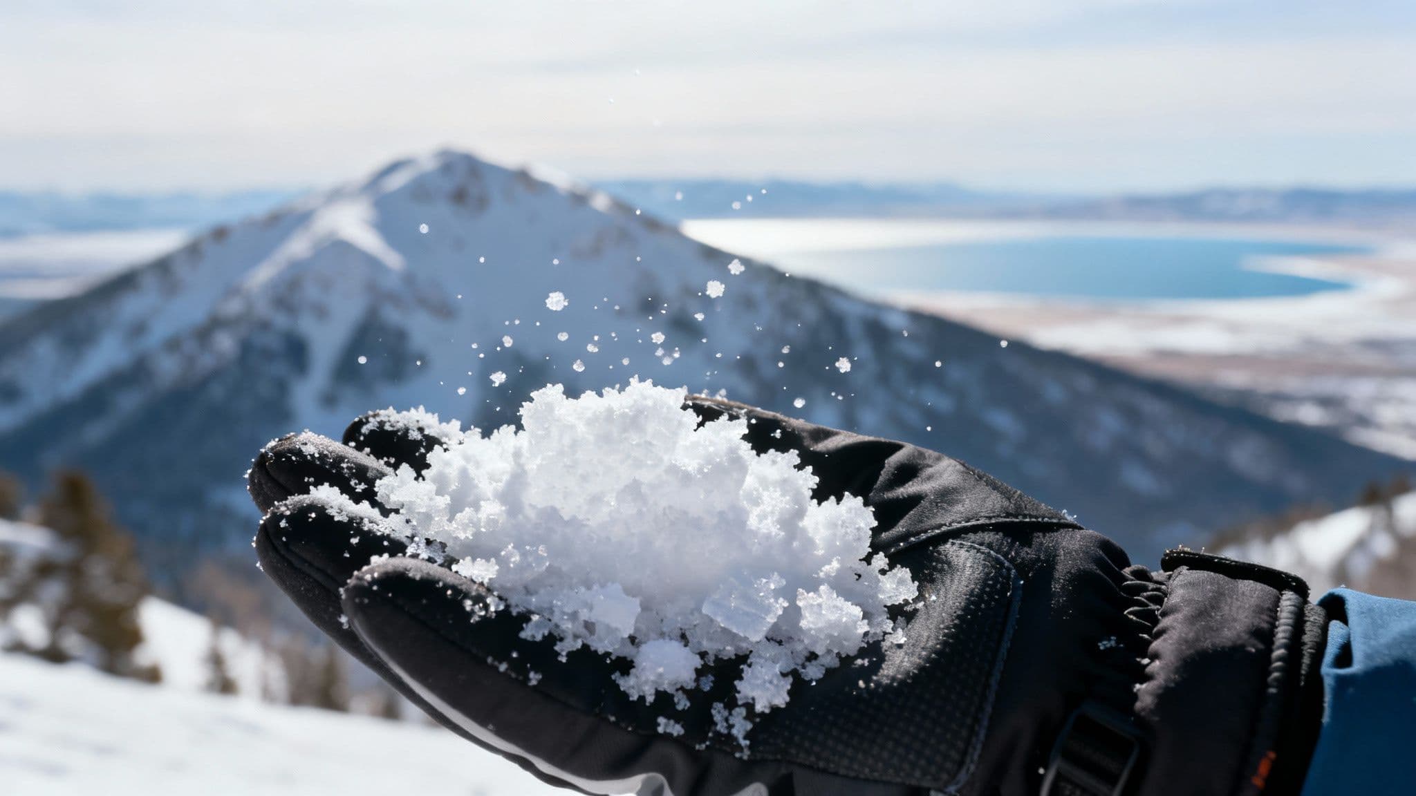
- Lake-Effect Snow: Cold, dry air sweeps across the Great Salt Lake, picking up moisture. As this air is forced up into the Wasatch Mountains, it cools and dumps that moisture as light-density snow.
- Orographic Lift: The steep walls of Little Cottonwood Canyon act as a ramp, forcing moist air to rise rapidly. This "orographic lift" squeezes out maximum snowfall, supercharging storms right over the resort.
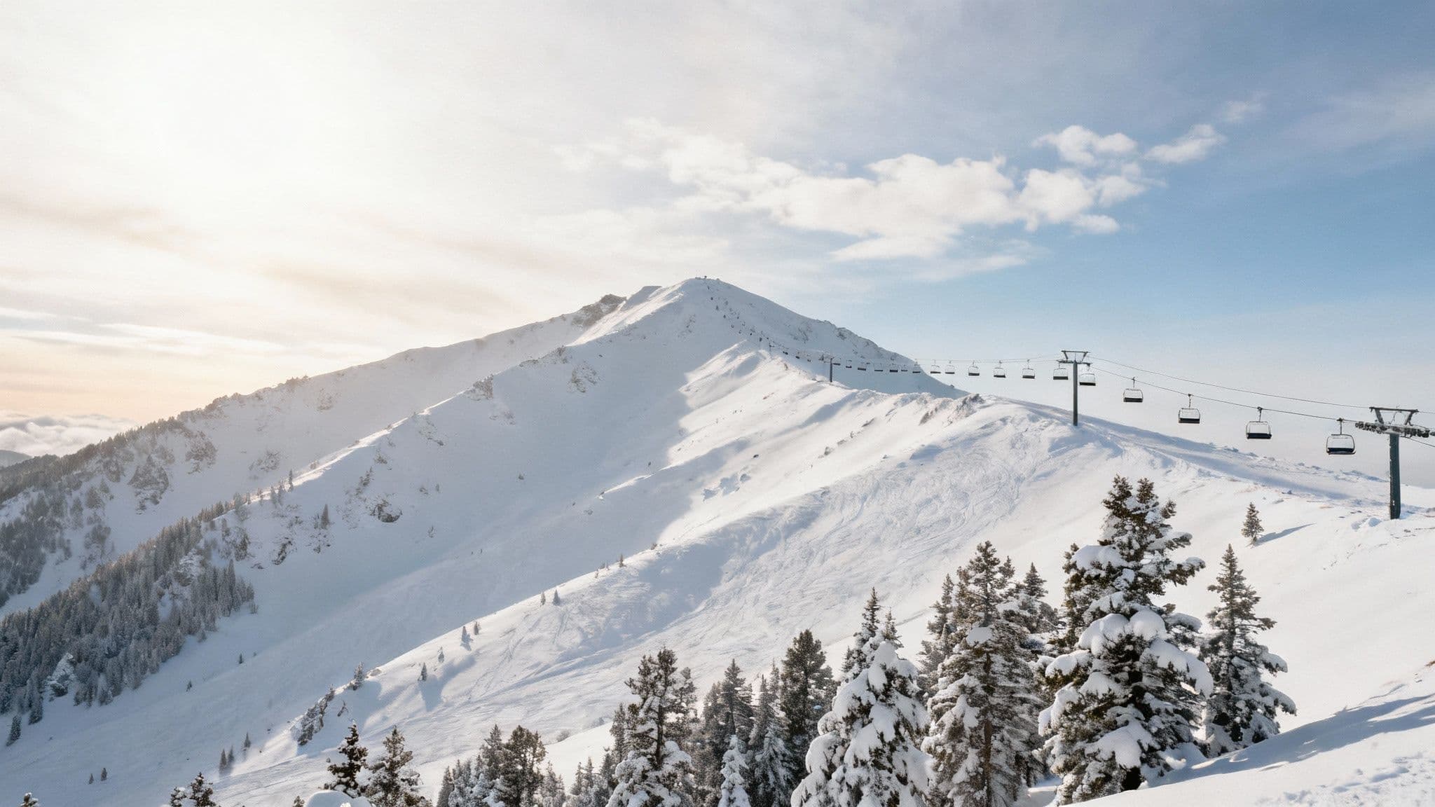
This powerful combination creates what Alta trademarked as "The Greatest Snow on Earth®" and is why the alta ski resort utah weather is legendary among skiers.
When Should You Ski at Alta?
Understanding Alta’s seasonal weather patterns helps you plan the perfect trip, whether you're chasing deep powder or sunny spring conditions. Timing is everything, and the experience changes significantly from early winter to late spring.
Alta Weather At a Glance: Seasonal Expectations
| Season Phase | Typical Snowfall | Average Temperatures (F) | What to Expect |
|---|---|---|---|
| Early Season (Nov-Dec) | Base-building storms, inconsistent totals | 10-30°F | Cooler days, variable coverage. Great for finding your ski legs and enjoying groomers. |
| Mid-Winter (Jan-Mar) | Frequent, large storms; peak powder season | 5-25°F | The heart of winter. Coldest temps, deepest powder, and the highest chance for epic storm skiing. |
| Late Spring (April) | Less frequent storms, more sun | 25-45°F | Warmer, sunnier days. Expect softer "corn" snow in the afternoons and classic spring skiing conditions. |
The 2022–23 season was a testament to this incredible potential, burying the resort under a record-breaking 903 inches of snow. Historically, Alta averages over 545 inches annually, with measurable snowfall on 66 to 89 days each winter. You can dive deeper into Alta's historical snowfall patterns on freethepowder.com or get insights from the resort on their official blog.
For the latest on road status in Little Cottonwood Canyon, you can always find live updates on our guide to Little Cottonwood Canyon and Big Cottonwood Canyon roads.
How to Read Alta Weather Forecasts
Relying on a standard city weather app is a common mistake. To accurately predict conditions at Alta, you need to consult mountain-specific resources. For a reliable picture, use a three-pronged approach.
1. Check the NOAA Point Forecast
Start with the National Oceanic and Atmospheric Administration (NOAA) point forecast pinned specifically to Alta's elevation. Look beyond the total snowfall and analyze these key details:
- Snow-to-Liquid Ratio (SLR): A high ratio (e.g., 15:1) indicates light, fluffy powder.
- Wind Direction: West or northwest winds are ideal for pulling moisture from the Great Salt Lake.
- Temperatures: Watch for temperature changes during a storm, as a slight warm-up can impact snow quality.
2. Read the Utah Avalanche Center Discussion
Next, review the Utah Avalanche Center (UAC) forecast. In addition to safety ratings, the UAC provides a detailed mountain weather discussion written by local experts. This narrative explains the "why" behind the forecast, offering valuable insights into storm timing and intensity that automated reports might miss. For more on this, see our guide to understanding ski resort weather forecasts.
3. Verify with Alta's Snow Report
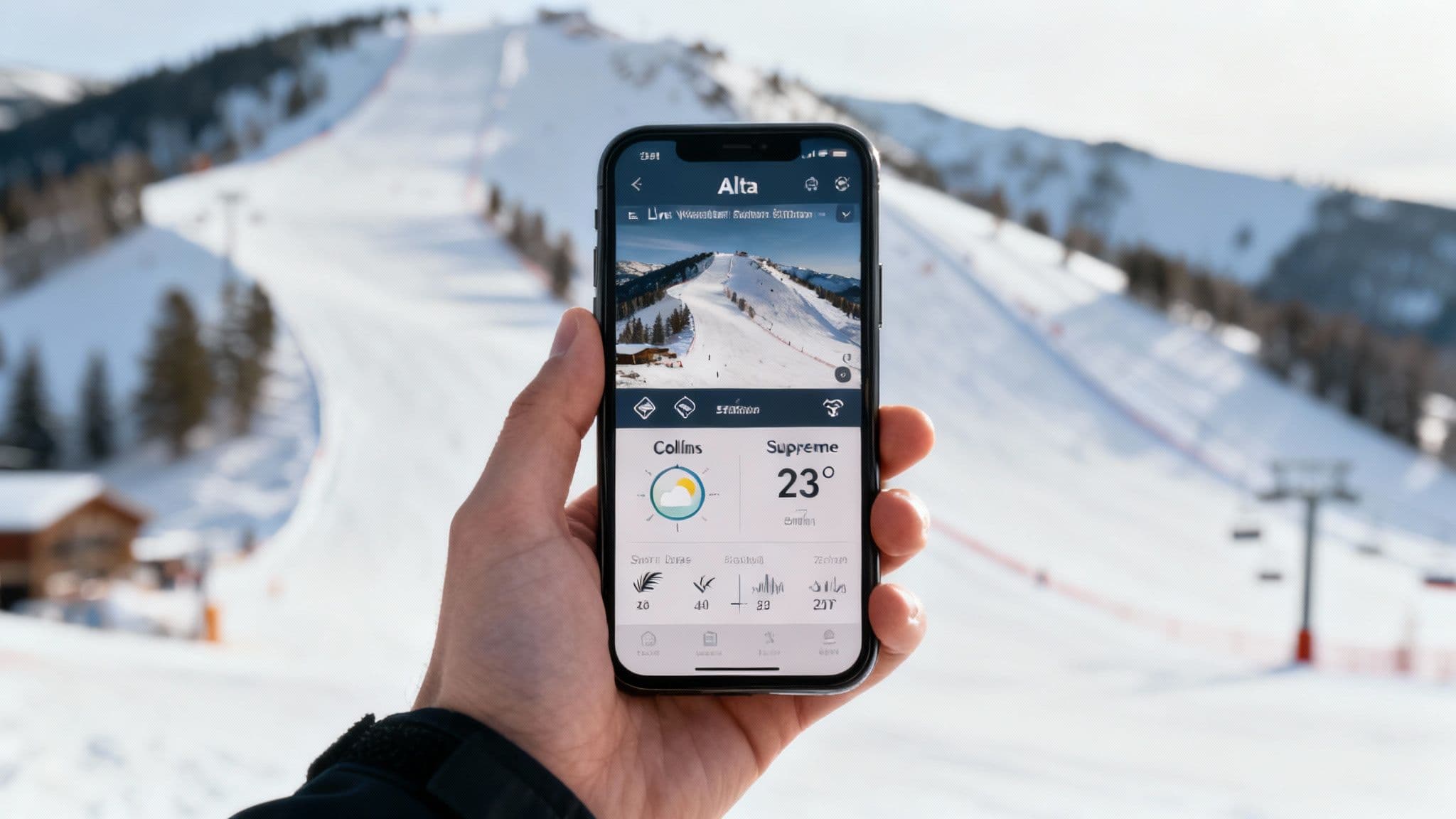
Finally, check Alta's official daily snow report. This is not a forecast but real-time, on-the-ground data from the resort's weather stations. Use it to confirm what the forecasts predicted. If NOAA called for 8 inches and Alta reports 10 inches at 5 AM, you know the storm delivered.
How to Get Real-Time Conditions
Once a storm is in motion, live data is critical for making day-of decisions. Before you head up the canyon, check these three sources for a complete, up-to-the-minute picture.
- Alta's Live Mountain Cams: View real-time video feeds from the base area, mid-mountain, and upper mountain to assess lift lines, visibility, and wind.
- Resort Weather Stations: Monitor live temperature, wind speed, and snowfall data directly from the mountain. This helps you verify conditions and anticipate potential lift holds due to high winds. Our Alta Ski Area snow report consolidates this information.
- UDOT Traffic Cameras: Getting up Little Cottonwood Canyon (SR-210) is often the biggest challenge. The Utah Department of Transportation (UDOT) provides live traffic cameras that let you see road conditions, traffic volume, and any potential closures before you leave.
How to Navigate Canyon Travel & Safety
The same storms that create epic powder also make traveling in Little Cottonwood Canyon hazardous. Understanding the rules of the road is non-negotiable for a safe and successful trip.
Heed Interlodge and Road Closures
Interlodge is a unique safety protocol where the Alta Town Marshal issues a legal order requiring everyone to stay indoors due to extreme avalanche danger. Outdoor travel of any kind is prohibited until it is lifted. More commonly, UDOT will close the canyon road for avalanche control. Always check UDOT's traffic site and social media channels for the latest road status before you go.
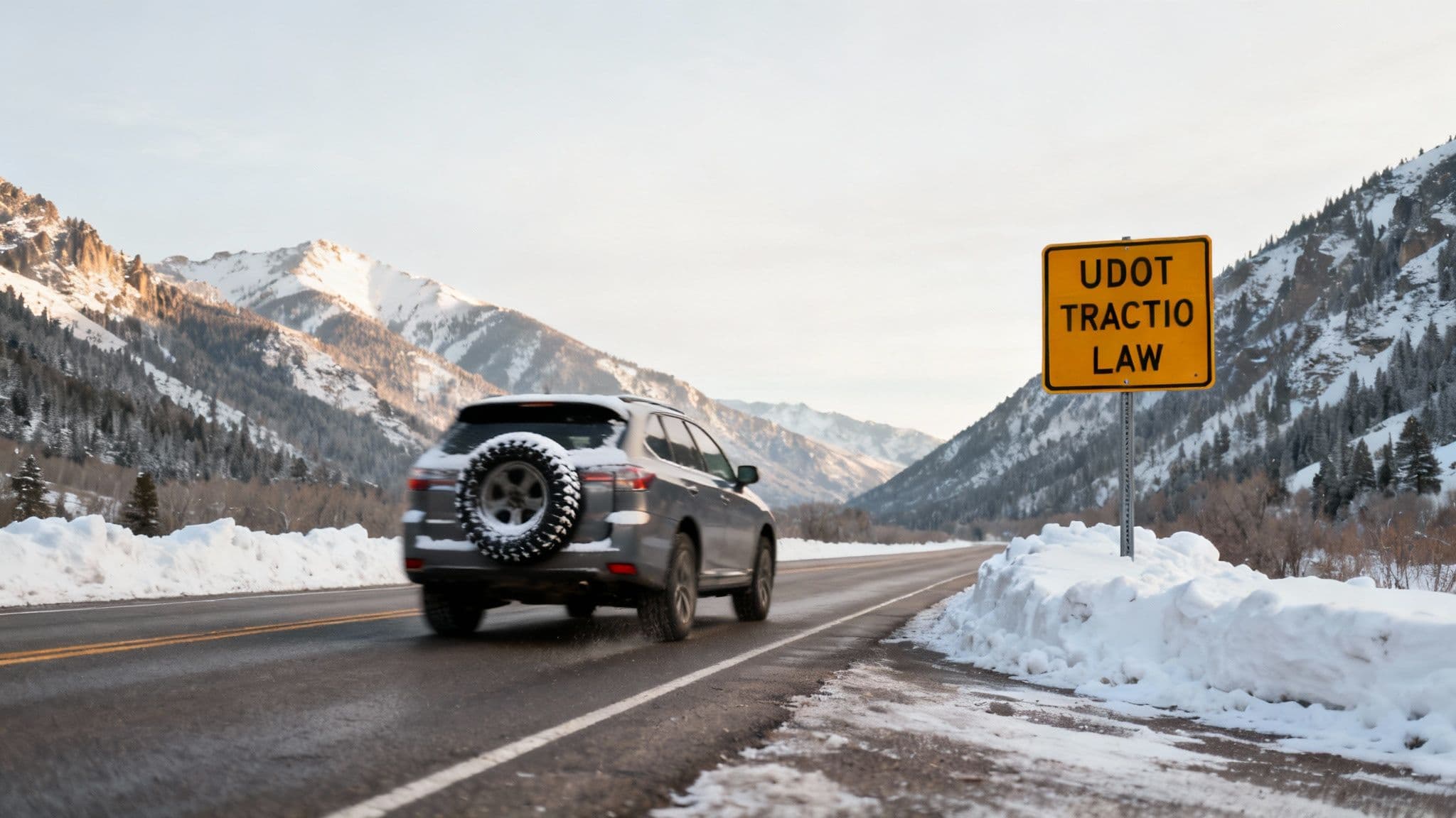
Follow the Traction Law
During winter storms, UDOT enforces a mandatory traction law. Your vehicle must have either 4WD/AWD with M+S or 3PMSF-rated tires, or 2WD with 3PMSF tires. Without proper equipment, law enforcement will turn you around. Our guide to Utah's traction law explained covers all the details.
Time Your Drive on Powder Days
On storm days, the canyon road often closes for morning avalanche control and reopens around 8:00–9:00 AM, creating a long line of cars known as the "red snake." To avoid the worst traffic, either arrive at the canyon entrance well before 8:00 AM or wait until the initial rush subsides after 10:00 AM.
Alta Weather FAQ
What is the best month for powder skiing at Alta?
February is historically Alta’s snowiest month and offers the best chance for deep, consistent powder on a stable base. January and March are also excellent, known for major storm cycles that can reset the mountain overnight.
How accurate are 10-day weather forecasts for Alta?
For trip planning, forecasts within a 3-day window are generally reliable. Anything further out should be used only to identify general patterns, as specific snowfall totals and storm timing from a 10-day forecast can change significantly. Always check updated forecasts from a trusted source like NOAA as your trip approaches.
What does Interlodge mean at Alta?
Interlodge is a mandatory safety protocol issued by the Alta Town Marshal during periods of extreme avalanche danger. All residents and visitors must remain indoors, and no outside travel is permitted until the order is lifted. It allows avalanche mitigation crews to work safely or is enacted when natural avalanche risk is too high.
For a complete, real-time picture of canyon conditions, including road status and live cameras, visit Wasatch Roads at https://wasatchroads.com.