
I-15 Cajon Pass
The Las Vegas corridor's choke point — live cameras and status over the 4,260‑foot Cajon Summit.
From Caltrans’s live chain-control feed — updated now. Confirm the posted level on QuickMap (quickmap.dot.ca.gov) or dial 511 before you commit.
Cajon Pass cameras, in drive order
All 30 live California Caltrans cameras along I-15, ordered south to north — read the strip like the drive.
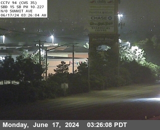
I-15 @ North Of Summit
facing south
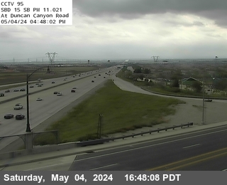
I-15 @ Duncan Canyon
facing south
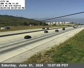
I-15 @ 0.5 Miles S of Sierra
facing north
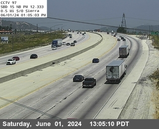
I-15 @ 0.1 Miles S of Sierra
facing north
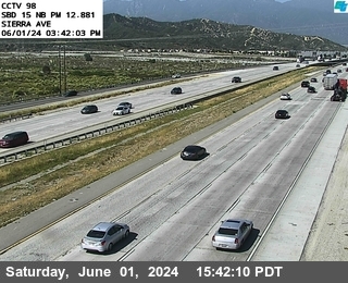
I-15 @ Sierra Avenue
facing north
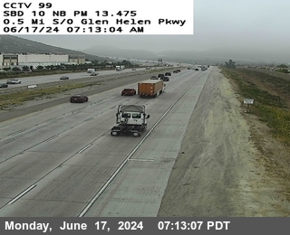
I-15 @ 0.5 Miles S of Glenhelen
facing north
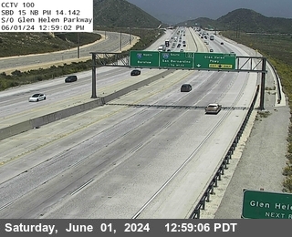
I-15 @ S of Glen Helen Parkway
facing north
I-15 @ Glen Helen Parkway
facing north

I-15 @ N of Glen Helen Parkway
facing north
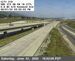
I-15 @ 0.6mi South Of Kenwood
facing south
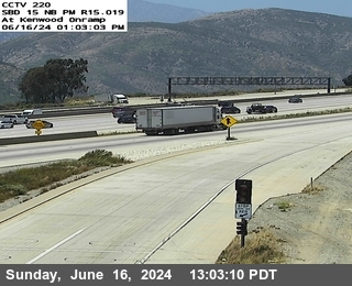
I-15 @ NB Kenwood On
facing north
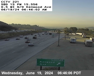
I-15 @ 0.5mi n
facing south
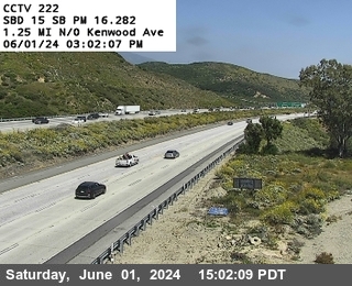
I-15 @ 1.25mi Kenwood
facing south

I-15 @ Oakie Flats Road
facing south

I-15 @ s
facing north
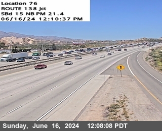
I-15 @ Jct. 138
facing north

I-15 @ 0.3 MI N
facing north
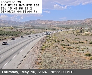
I-15 @ n
facing north
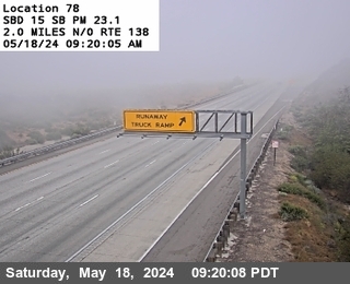
I-15 @ Truck RunwayRp
facing south

I-15 @ Forest Serv As
facing north
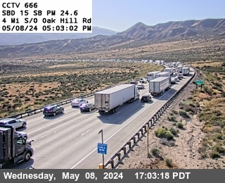
I-15 @ Brake Check Rd
facing south

I-15 @ Oak Hill Rd
facing north

I-15 @ Ranchero Road Loop (s
facing south

I-15 @ US-395
facing north

I-15 @ Main St
facing north

I-15 @ 2 mi s
facing north

I-15 @ Bear Valley Rd
facing south

I-15 @ Palmdale Rd
facing north
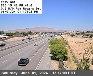
I-15 @ Roy Rogers Dr.
facing north

I-15 @ Cement Co. OC
facing north
Pass weather right now
Caltrans road-weather stations along the corridor — the same sensors the chain-control decisions use.
About Cajon Pass
Every drive from Los Angeles or the Inland Empire to Las Vegas — and every high-desert commute out of Victorville and Hesperia — funnels through Cajon Pass, the gap between the San Gabriel and San Bernardino mountains where I‑15 climbs from San Bernardino to a posted 4,260 feet at Cajon Summit. When the pass has a problem, half of Southern California's weekend has a problem.
The hazards rotate with the calendar: Santa Ana wind events that flip high-profile vehicles and drive blowing dust across the lanes, winter cold snaps that ice the summit and occasionally close it outright, and fire — the 2016 Blue Cut Fire shut I‑15 completely for days. The grade itself compounds everything, with runaway-truck escape ramps punctuating the descent.
The cameras below run south to north, from the bottom of the grade past the SR‑138 junction to the summit and down into the desert. The banner above them reads the live Caltrans feed — chain controls here are uncommon but real, and wind restrictions show up in the same data.
Driving Cajon Pass in winter
- A cold storm can ice Cajon Summit while San Bernardino gets rain — check the summit cameras before a night or early-morning Vegas run.
- In Santa Ana conditions, watch for blowing dust near the SR‑138 junction and lay off the cruise control; high-profile vehicles should reconsider entirely.
- Snow closures are usually short but total — when CHP shuts the pass, waiting an hour beats improvising a detour through the mountain roads, which close first.
- Heading to Vegas in weather, check the whole chain: Cajon, the I‑15 high desert past Victorville, and the Nevada side at /ndot-cameras.
- Official restrictions and escorts post on Caltrans QuickMap (quickmap.dot.ca.gov) and 511 — treat the cameras as your early warning, not the ruling.
Explore more
The full camera maps and guides around this corridor.