
I-5 Mt Shasta & Siskiyous
California's snowiest stretch of I‑5 — live cameras and chain status from Redding to the Oregon line.
From Caltrans’s live chain-control feed — updated now. Confirm the posted level on QuickMap (quickmap.dot.ca.gov) or dial 511 before you commit.
Mt Shasta cameras, in drive order
All 38 live California Caltrans cameras along I-5, ordered south to north — read the strip like the drive.
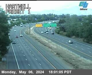
Hartnell
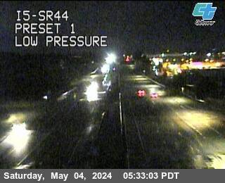
I-5 @ SR-44
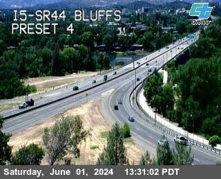
I-5 @ SR-44 Bluffs

I-5 @ SR-299
facing north
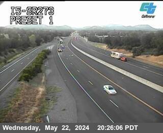
I-5 @ SR-273
facing south
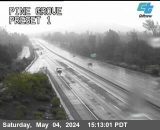
Pine Grove
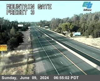
Mountain Gate
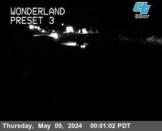
Wonderland
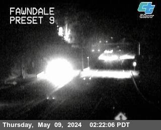
Fawndale
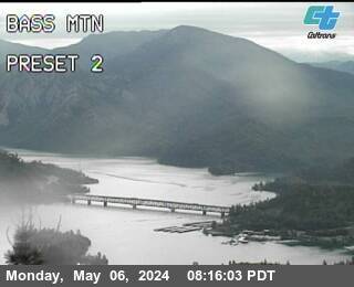
BassMtn
Pit River Bridge
Sidehill

Obrien

Sacramento Hill
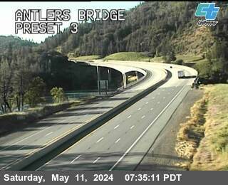
Antlers Bridge
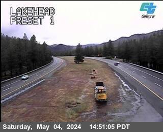
Lakehead
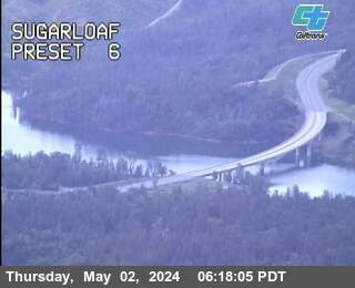
Sugarloaf
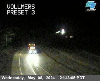
Vollmers
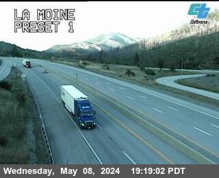
La Moine
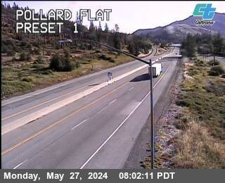
Pollard Flat
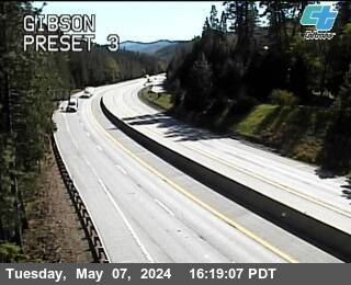
Gibson
Sims Road
facing north
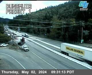
Dunsmuir
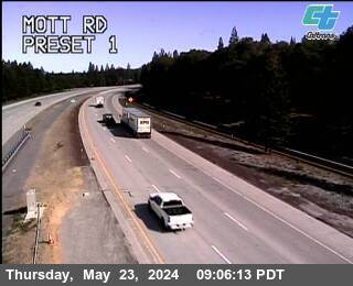
Mott Rd
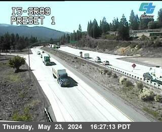
I-5 @ SR-89

Central Mt Shasta
facing north
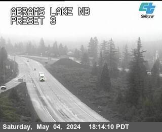
Abrams Lake NB
facing north
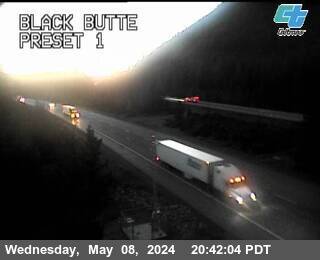
Black Butte
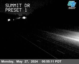
Summit Dr
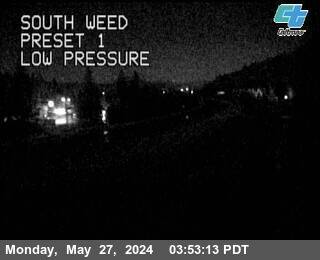
South Weed
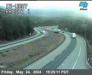
I-5 @ US-97
North Weed
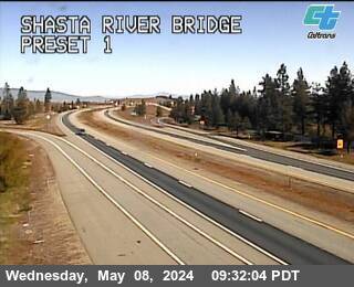
Shasta River Bridge

Weed Airport

Grenada
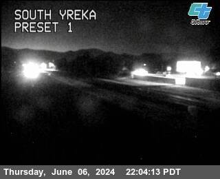
South Yreka
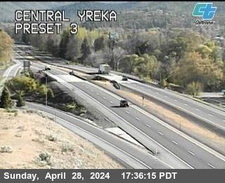
Central Yreka
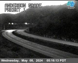
Anderson Grade
Pass weather right now
Caltrans road-weather stations along the corridor — the same sensors the chain-control decisions use.
About Mt Shasta
North of Redding, I‑5 stops being a valley freeway and becomes a mountain road. The interstate climbs past Lake Shasta into the Sacramento River canyon at Dunsmuir, crests Black Butte Summit (3,912 feet) between Mount Shasta city and Weed, and rolls through Yreka toward the Siskiyous — the snowiest, most chain-controlled stretch of I‑5 in California, driven mostly by people just trying to get between California and Oregon.
Chain controls here are routine from December through March: the feed's checkpoints run from Fawndale north through Dunsmuir, Mt Shasta, Weed and Yreka, and a single storm often restricts forty miles of interstate at once. Anderson Grade north of Yreka and the climb to the Oregon border finish the gauntlet — and on the far side, Oregon's Siskiyou Summit (4,310 feet, the highest point on all of I‑5) is frequently worse.
The cameras run south to north, Fawndale to Yreka, under a live chain-control banner from the Caltrans feed. Mount Shasta itself — 14,000 feet of weather-maker looming over the road — is the reason this corridor gets buried while Redding gets rain.
Driving Mt Shasta in winter
- Rain in Redding regularly means heavy snow from Dunsmuir north — check the Weed and Black Butte cameras before assuming the drive matches the valley weather.
- Carry chains December through March even in a 4WD; R‑2 controls here apply for hours at a time and CHP turns unequipped vehicles around.
- Weed is the classic decision point: gas, chains and a long look at the cameras before committing to Yreka and the border grades.
- Continuing into Oregon? Check the ODOT cameras at /odot-cameras — Siskiyou Summit closes or chains up even when the California side is clear.
- Confirm the posted control level on Caltrans QuickMap (quickmap.dot.ca.gov) or dial 511 — the checkpoints, not the map, have the final word.
Explore more
The full camera maps and guides around this corridor.