
I-80 Donner Pass
Live cameras and chain-control status across the Sierra's busiest winter crossing — 7,239 feet at Donner Summit.
From Caltrans’s live chain-control feed — updated now. Confirm the posted level on QuickMap (quickmap.dot.ca.gov) or dial 511 before you commit.
Donner Pass cameras, in drive order
All 14 live California Caltrans cameras along I-80, ordered west to east — read the strip like the drive.
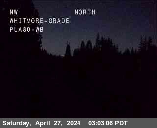
Hwy 80 @ Whitmore Grade
facing west

Hwy 80 @ Kingvale EB 2
facing east

Hwy 80 @ Kingvale EB 1
facing east
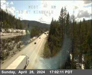
Hwy 80 @ Kingvale WB
facing west
Hwy 80 @ Soda Springs EB
facing east
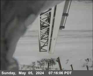
Hwy 80 @ Castle Peak
facing east
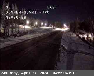
Hwy 80 @ Donner Summit
facing east
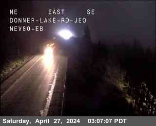
Hwy 80 @ Donner Lake
facing west
Hwy 80 @ Old Ag Sta
facing west
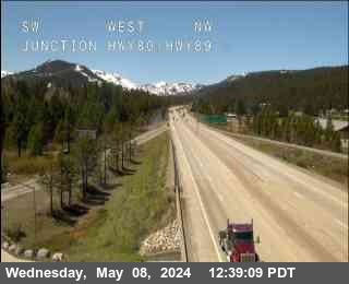
Hwy 80 @ Hwy 89
facing east
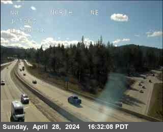
Hwy 80 @ 267
facing east
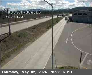
Hwy 80 @ Truckee Scales
facing west
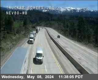
Hwy 80 @ Truckee Scales WB
facing west
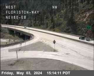
Hwy 80 @ Floriston
facing east
About Donner Pass
I‑80 over Donner Pass is the main road into the Sierra — the route Bay Area and Sacramento traffic takes to Truckee, Palisades Tahoe, Sugar Bowl, Boreal and the north shore of Lake Tahoe — and the highest point on I‑80 in California at 7,239 feet. In a storm it is also the first place the state goes to chains: controls post here earlier, and stay up longer, than almost anywhere else in California.
The cameras on this page run in drive order, west to east — up from Blue Canyon through Kingvale to Donner Summit, then down past Donner Lake to Truckee and Floriston. Reading the strip like the climb tells you more than any single frame: valley rain at Blue Canyon often means snow at the summit, and the difference is the whole trip.
Above them sits the live chain-control banner, computed from the same Caltrans feed that powers QuickMap. Eastbound controls are typically checked around Kingvale and Applegate; westbound trucks screen at the Truckee scales — and I‑80 here has truck screening and turnaround rules that exist nowhere else in the state.
Driving Donner Pass in winter
- Check the summit camera before you leave — Sacramento can be dry while Donner Summit is in a whiteout, and the climb takes you through every stage in between.
- R‑1 means chains or snow tires; R‑2 means chains on everything except 4WD/AWD with snow tires; R‑3 (rare) means chains on all vehicles — carry them from November through April even in a 4x4.
- Eastbound chain control usually starts around Kingvale — get into the chain-up lane early instead of stopping on the traveled way.
- Storm-day traffic stacks up fast behind the checkpoints; leaving an hour earlier routinely saves three.
- The banner here reads the official feed, but the posted level at the checkpoint is the law — confirm on Caltrans QuickMap (quickmap.dot.ca.gov) or dial 511.
Explore more
The full camera maps and guides around this corridor.