
I-90 Snoqualmie Pass
Washington's busiest mountain crossing — live cameras and the official WSDOT pass report over the 3,022‑foot summit.
From WSDOT’s official mountain pass report — updated 21d 10h ago. Confirm the posted restriction on the WSDOT app or wsdot.wa.gov before you commit.
Snoqualmie Pass cameras, in drive order
All 36 live Washington WSDOT cameras along I-90, ordered west to east — read the strip like the drive.
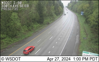
I-90 @ MP 24.9
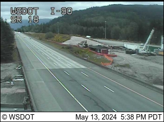
I-90 MP 25.65 Westbound @ SR 18

I-90 MP 25.66 Eastbound @ SR 18

I-90 MP 25.68 @ SR 18 Interchange
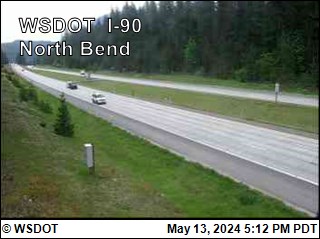
I-90 MP 33.2 @ North Bend

I-90 MP 37.75 @ Homestead Valley Rd
I-90 MP 45.2 @ Tinkham Road
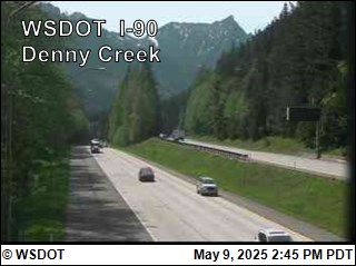
I-90 MP 46.8 @ Denny Creek
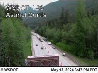
I-90 MP 48.1 @ Asahel Curtis
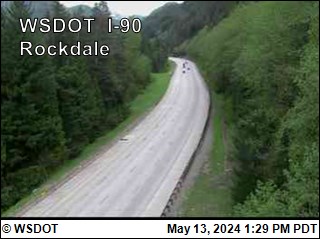
I-90 MP 49.3 @ Rockdale
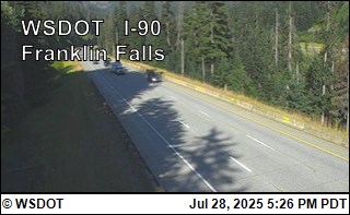
I-90 MP 51.3 @ Franklin Falls
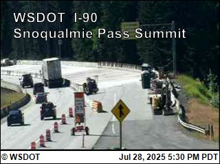
I-90 MP 52 @ Snoqualmie Summit
I-90 MP 53.4 @ East Snoqualmie Summit

I-90 MP 54.5 @ Hyak Hill
I-90 MP 55.1 @ Hyak
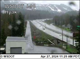
I-90 @ MP 55.2

I-90 @ MP 56.88 Rocky Run Creek
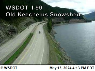
I-90 MP 57.7 @ Old Keechelus Snow Shed
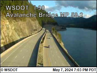
I-90 MP 58.2 @ Avalanche Bridge
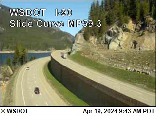
I-90 MP 59.3 @ Slide Curve

I-90 @ MP 59.9 Resort Creek
I-90 @ MP 60.5 Lake Keechelus Dam
I-90 @ MP 61.1 Price Creek
I-90 @ MP 61.3 Animal Overcrossing
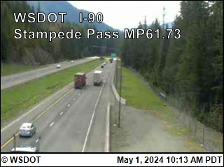
I-90 @ MP 61.7 Stampede Pass

I-90 @ MP 62.97 Stampede Pass Exit 62
I-90 MP 69.78 @ Lake Easton
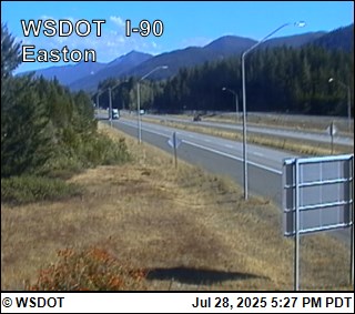
I-90 MP 70.6 @ Easton
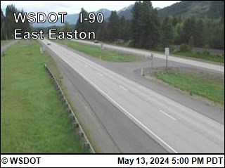
I-90 MP 72.6 @ East Easton
facing west
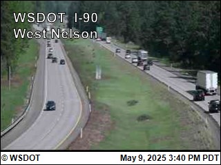
I-90 MP 73.1 @ West Nelson
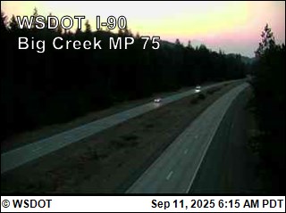
I-90 MP 75.05 @ Big Creek

I-90 MP 76.48 @ Ensign Ranch
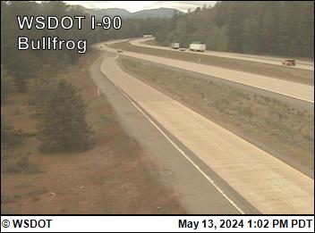
I-90 MP 79.5 @ Bullfrog RWIS

I-90 MP 82.75 @ West Cle Elum Interchange
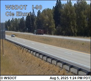
I-90 MP 84.6 @ Cle Elum
facing east

I-90 MP 86.71 @ Cle Elum
Pass weather right now
Caltrans road-weather stations along the corridor — the same sensors the chain-control decisions use.
About Snoqualmie Pass
I‑90 over Snoqualmie Pass is the main road across Washington's Cascades — the route Seattle takes to Ellensburg, Spokane and everything east, carrying around 29,000 vehicles a day over the 3,022‑foot summit. That elevation is the lowest of the state's three year-round crossings, which is why Snoqualmie holds out longer than Stevens or White Pass in most storms — but the volume means a single spinout stacks miles of brake lights, and The Summit at Snoqualmie's four base areas (Alpental, Summit West, Summit Central and Summit East) sit directly at the pass, about 52 miles from downtown Seattle.
The cameras below run west to east in drive order: North Bend up the eastbound climb past Denny Creek to the summit, then Hyak and the avalanche-bridge section along Keechelus Lake — the camera there still carries the old snow shed's name, though the 1950 shed came down in 2014 and slides now pass under the freeway on bridges — and down past Easton to Cle Elum. Read the strip like the climb: rain at North Bend often means snow at the summit, and the difference decides whether you're driving or chaining.
Above the cameras sits a live banner reading WSDOT's official mountain pass report — the same feed behind the WSDOT app. Washington's restriction ladder runs "traction tires advised" to "traction tires required" (vehicles over 10,000 pounds must chain) to "chains required on all vehicles except AWD" and, in the worst conditions, chains on absolutely everything.
Driving Snoqualmie Pass in winter
- Check the summit camera before you leave — Seattle can be 40 degrees and raining while the pass is in a whiteout, and the change comes fast above North Bend.
- AWD and 4WD are exempt from putting chains on until the final "all vehicles" tier — but never from carrying them once chains are required, so keep a set in the car all season.
- Eastbound chain-up areas are signed along the climb out of North Bend — pull into one early instead of stopping on the traveled way; westbound traffic chains up on the grade above Easton.
- Ski traffic is its own weather: powder-Saturday mornings and Sunday afternoons around the Summit and Alpental exits back up the mainline in both directions.
- The banner here mirrors the official report, but the signs posted at the pass are the law — confirm on the WSDOT app or wsdot.wa.gov/travel/real-time/mountainpasses before you commit.
Explore more
The full camera maps and guides around this corridor.