
US-2 Stevens Pass
The road to Stevens Pass ski resort and Leavenworth — live cameras and the WSDOT pass report over the 4,061‑foot summit.
From WSDOT’s official mountain pass report — updated 21d 10h ago. Confirm the posted restriction on the WSDOT app or wsdot.wa.gov before you commit.
Stevens Pass cameras, in drive order
All 15 live Washington WSDOT cameras along US-2, ordered west to east — read the strip like the drive.
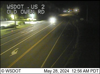
US 2 MP 21.5 @ Old Owen Rd
facing east
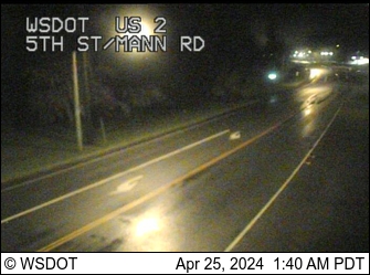
US 2 MP 22.3 @ 5th St
facing east
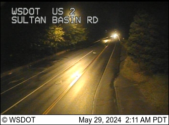
US 2 MP 23.2 @ Sultan Basin Rd
facing east

US 2 MP 24.2 @ Rice Rd
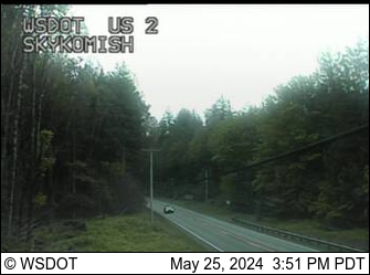
US 2 @ MP 45.6 (Skykomish)
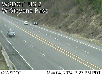
US 2 MP 61.9 @ Old Faithful Avalanche Zone
facing east
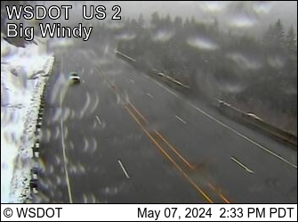
US 2 MP 63 @ Big Windy
facing west
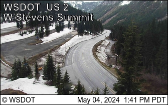
US 2 MP 64.3 @ West Stevens Pass - Ski Lodge
facing west
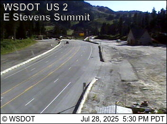
US 2 MP 64.6 @ East Stevens Pass Summit
facing west
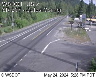
US 2 MP 84.5 @ SR 207 Coles Corner looking East
facing east
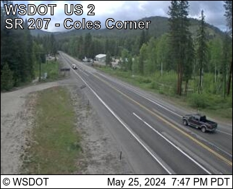
US 2 MP 84.5 @ SR 207 Coles Corner looking West
facing west
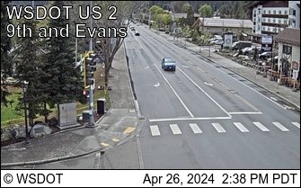
US 2 MP 99.9 @ Leavenworth
facing west
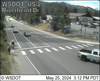
US 2 MP 100.6 @ E. Leavenworth
facing west
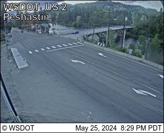
US 2 MP 103.7 @ Peshastin
facing west
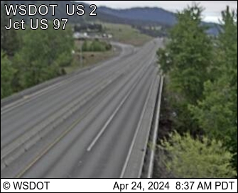
US 2 MP 104.8 @ Don Senn Memorial Interchange
facing west
Pass weather right now
Caltrans road-weather stations along the corridor — the same sensors the chain-control decisions use.
About Stevens Pass
US‑2 is the northern of Washington's year-round Cascade crossings, and the harder one: 4,061 feet at the summit — a thousand feet above Snoqualmie — on a two-lane mountain highway instead of a six-lane interstate. It is also the road people most want in winter: the Stevens Pass ski resort sits directly on the summit, and Leavenworth's Bavarian village anchors the east side, so storm-weekend traffic meets storm-weekend snow head-on.
The corridor's defining hazard is avalanche control. US‑2 crosses dozens of slide paths — one of WSDOT's cameras here is named for the Old Faithful avalanche zone — and the state closes the highway on short notice to shoot and clear them, typically after big storm cycles. Below the pass, Tumwater Canyon adds a second closure point: the stretch between the summit and Leavenworth closes for slides and washouts, most recently for much of winter 2025–26 after an atmospheric-river storm tore out sections of the roadway.
The cameras run west to east under the live WSDOT pass-report banner. One gap in the strip is real, not a glitch: past Sultan, WSDOT has no cameras for roughly twenty miles, so coverage picks up again at Skykomish, climbs through the avalanche zones to the summit, and drops through Tumwater Canyon to Leavenworth. The restriction ladder is the same one Snoqualmie uses — traction tires advised, traction tires required, chains on everything except AWD, chains on all vehicles.
Driving Stevens Pass in winter
- Confirm a clear summit camera before you commit — if Stevens closes while you're en route, the detour back around via I‑90 costs hours.
- Avalanche-control closures cluster in the days after a storm cycle and post on short notice — check the banner again the morning you leave, not just the night before.
- The resort sits on the highway itself: powder-day parking queues can back onto US‑2, and there's no frontage road to escape to.
- Two lanes leave no room to improvise — chain up only in the signed pullouts, and remember AWD skips installing chains but must still carry them once controls post.
- The banner mirrors WSDOT's official pass report, but the signs on the road decide — confirm on the WSDOT app or wsdot.wa.gov/travel/real-time/mountainpasses.
Explore more
The full camera maps and guides around this corridor.