
US-50 Echo Summit
The South Lake Tahoe road — live cameras and chain status over the 7,377‑foot high point of US‑50.
From Caltrans’s live chain-control feed — updated now. Confirm the posted level on QuickMap (quickmap.dot.ca.gov) or dial 511 before you commit.
Echo Summit cameras, in drive order
All 27 live California Caltrans cameras along US-50, ordered west to east — read the strip like the drive.
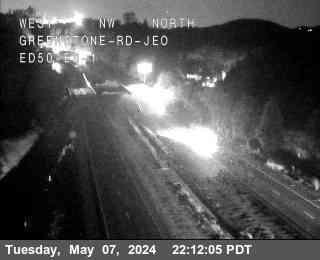
Hwy 50 @ Greenstone 1
facing west
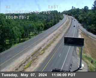
Hwy 50 @ Greenstone 2
facing east
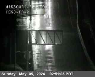
Hwy 50 @ Missouri Flat 2
facing east
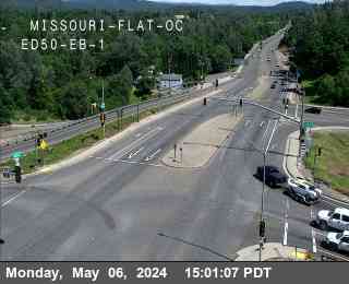
Hwy 50 @ Missouri Flat 1
facing east
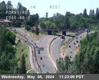
Forni_ED50_WB_1
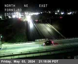
Forni_ED50_WB_2

Placerville_Dr_JEO_ED50_WB_1
facing west

Placerville_Dr_JEO_ED50_WB_2
facing west
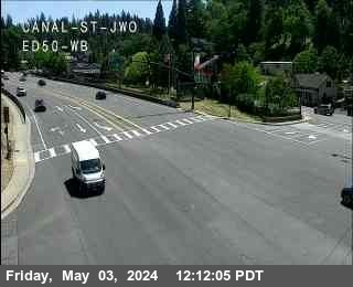
Hwy 50 @ Canal St
facing west
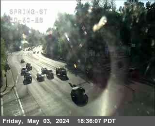
Hwy 50 @ Spring
facing east
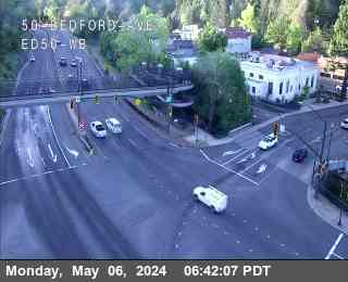
Hwy 50 @ Bedford
facing west
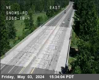
Snow_ED50_EB_1
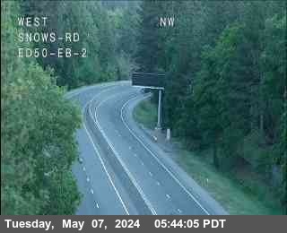
Snow_ED50_EB_2
Sly_Park_ED50_EB_1
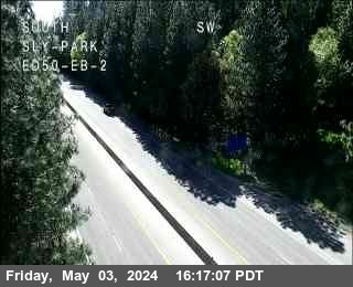
Sly_Park_ED50_EB_2
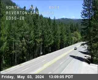
Hwy 50 @ Riverton Sandhouse
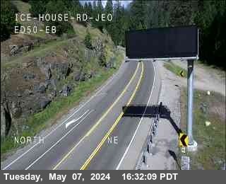
Hwy 50 @ Ice House
facing east
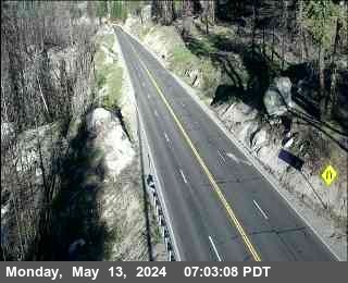
Hwy 50 @ Wrights Lake 2
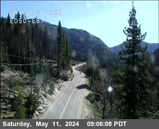
Hwy 50 @ Wrights Lake 1
facing east
Hwy 50 @ Twin Bridges
facing west
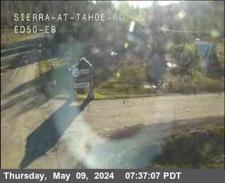
Hwy 50 @ Sierra EB
facing east
Hwy 50 @ Echo Summit
facing east
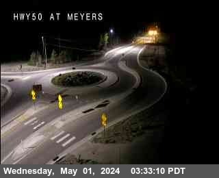
Hwy 50 @ Meyers
facing west
Pioneer_Trail_ED50_EB_2
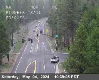
Pioneer_Trail_ED50_EB_1
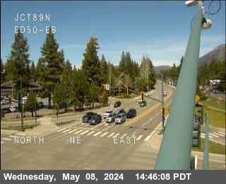
Hwy 50 @ Hwy 89
facing east
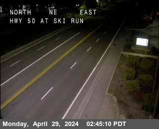
Hwy 50 @ Ski Run
facing east
About Echo Summit
US‑50 is the direct road to South Lake Tahoe, Heavenly and Sierra‑at‑Tahoe, climbing out of Placerville through Camino, Riverton and Strawberry to Echo Summit — at 7,377 feet, the highest point anywhere on US‑50 in California — before dropping to Meyers and the lake. It is the quieter alternative to I‑80, but in winter it is every bit as serious.
The section below the summit is the one to respect: the highway hangs on a granite wall above the American River canyon, and when chain controls post or a spun-out car blocks a lane, there is nowhere to go. Caltrans holds or closes US‑50 for avalanche control and slide cleanup a few times most winters, and the cameras usually show you the problem before the traffic report names it.
The strip below runs west to east, Placerville to Meyers, with the live chain-control banner above it fed by the same Caltrans data QuickMap uses. Typical control points climb the hill with the storm — Camino and Riverton early, Strawberry and Twin Bridges as it gets serious.
Driving Echo Summit in winter
- Check the Echo Summit camera and the banner before leaving Sacramento — the valley can be sunny while the summit grade is chained up.
- Controls usually post lower on the hill first; if Riverton is already R‑2, expect the summit to be worse by the time you reach it.
- There is very little room to chain up on the wall section — use the signed chain-up areas early rather than improvising near the summit.
- On big storm cycles US‑50 can close entirely for avalanche control above Twin Bridges; I‑80 via Truckee is the standard detour to the lake.
- Our banner mirrors the official feed, but the checkpoint decides — verify on Caltrans QuickMap (quickmap.dot.ca.gov) or dial 511.
Explore more
The full camera maps and guides around this corridor.